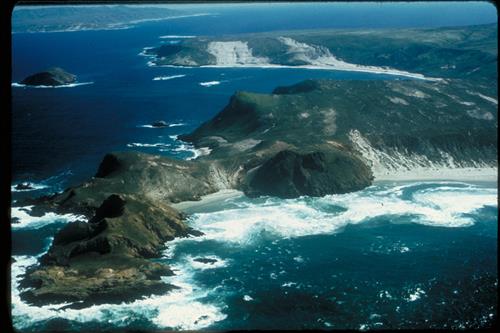
Lester and Harris Points, San Miguel Island with Cuyler Harbor, Prince Island and the western end of Santa Rosa Island in the background. White water in foreground as waves break upon rocky shoreline.
Lester and Harris Points, San Miguel Island with Cuyler Harbor, Prince Island and the western end of Santa Rosa Island in the background. White water in foreground as waves break upon rocky shoreline.
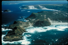
Another aerial view
National Park Service
Permission must be secured from the individual copyright owners to reproduce any copyrighted materials contained within this website. Digital assets without any copyright restrictions are public domain.