Select Item below to DOWNLOAD - Once item is selected, right click and choose 'save as'
fe54bceb-8ad2-4a34-8a54-78f339e87471
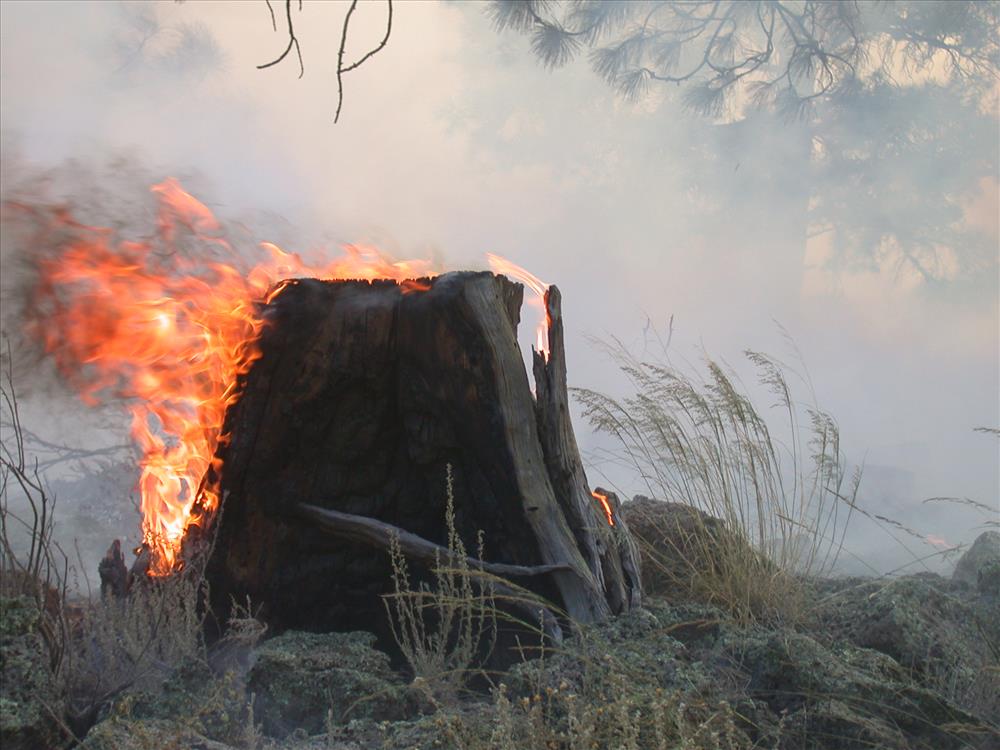
Little Hole prescribed burn at El Malpais National Monument, 2004
Prescribed burning is done to reduce fuels, reintroduce fire to the ecosystem and manage park lands.
Flaming stump
U.S. National Park Service
Permission must be secured from the individual copyright owners to reproduce any copyrighted materials contained within this website. Digital assets without any copyright restrictions are public domain.
Public domain
Parks -- fire management, ()
, Prescribed burning, ()
, Drip torch fire ignition, ()
, Fire behavior, ()
, Prescribed burning, ()
, Drip torch fire ignition, ()
, Fire behavior, ()
Image
El Malpais National Monument, Code: ELMA
Fire and Aviation Management Program, Code: FIRE
Fire and Aviation Management Program, Code: FIRE
El Malpais National Monument, Cibola County, New Mexico
Latitude: 34.7848014831543, Longitude: -107.977996826172
Latitude: 34.7848014831543, Longitude: -107.977996826172
Legacy NPS Focus Record ID : 232822
09/13/2005
09/14/2004 - 09/14/2005
Public Can View
Tuesday, September 13, 2005 6:07:08 PM
Thursday, August 10, 2017 3:00:03 PM
ELMA-LittleHoleRXAnthonyTroxel-200409_2.jpg
NIKON NIKON, E995
10/1416 sec at f / 4.3
23.4 mm
ISO 100
Wednesday, September 15, 2004 5:57:59 AM
jpg
650.2 kB
Events