Select Item below to DOWNLOAD - Once item is selected, right click and choose 'save as'
F9EC8789-1DD8-B71B-0B054FCD4B306F4A
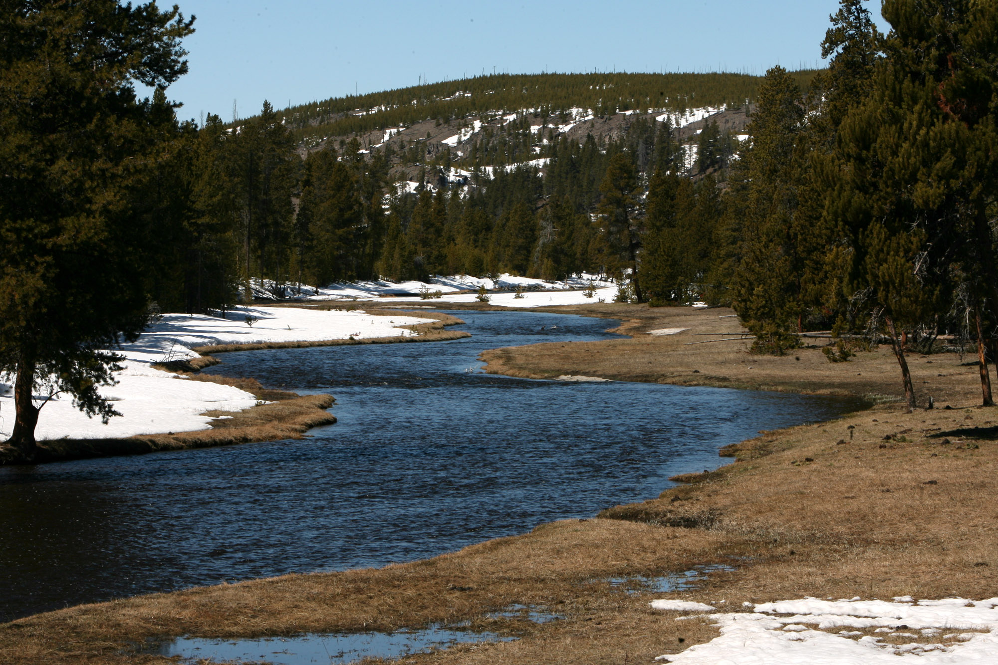
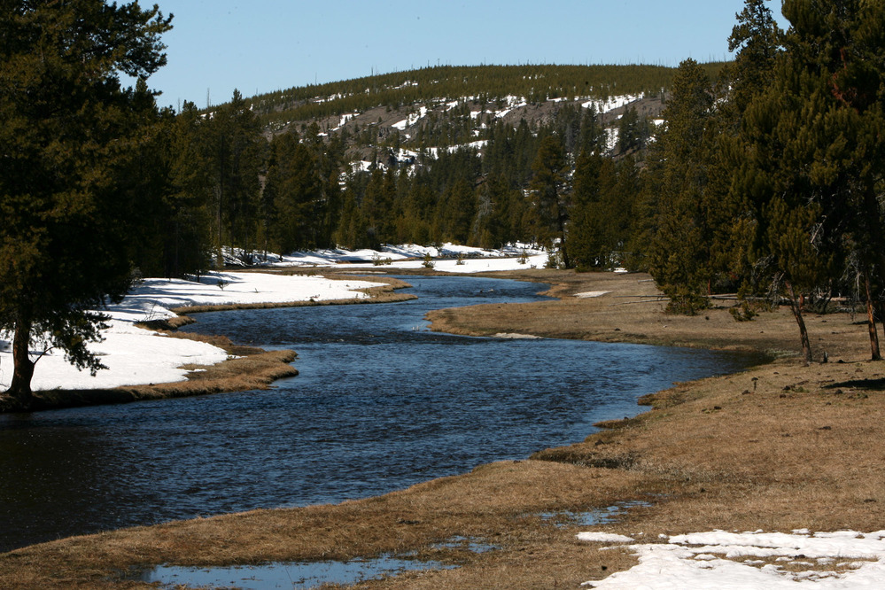
Nez Perce Creek
Nez Perce Creek flows with some snow on left bank, grass on the right bank and a few trees also near the bank.
Nez Perce Creek flows into the Firehole River.
U.S. National Park Service
Permission must be secured from the individual copyright owners to reproduce any copyrighted materials contained within this website. Digital assets without any copyright restrictions are public domain.
NPS/Jim Peaco
Public domain:Full Granting Rights
Image
Yellowstone National Park, Code: YELL
Yellowstone National Park
Latitude: 44.581298828125, Longitude: -110.490097045898
Latitude: 44.581298828125, Longitude: -110.490097045898
04/21/2009
Public Can View
Thursday, March 7, 2019 3:19:49 PM
Thursday, March 7, 2019 3:19:49 PM
F9F5599A-1DD8-B71B-0BBF996B2FB48C89.jpg
Canon Canon, Canon EOS-1D Mark II N
1/125 sec at f / 18
110 mm
ISO 100
Tuesday, April 21, 2009 4:49:13 PM
jpg
753.8 kB
Scenic