Select Item below to DOWNLOAD - Once item is selected, right click and choose 'save as'
f752af25-9b1c-4aef-b5c4-9a61ac310f23
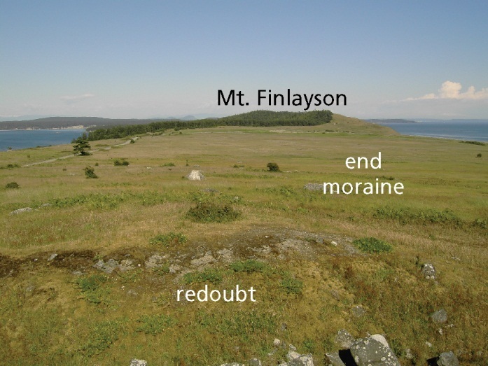
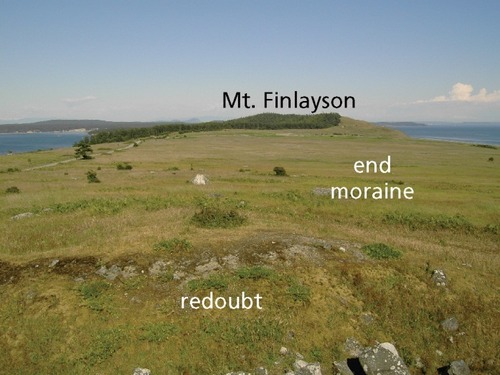
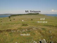
Figure 16. American Camp prairie.
Photo of a hilltop prairie with forested slopes and open water in the distance.
Figure 16. American Camp prairie. The vast prairie at American Camp formed in glacial diamicton. The view in this photograph is to the southeast, toward Mt. Finlayson, with the redoubt (temporary fortification) in the foreground and the Strait of Juan de Fuca to the right. The diamicton forms an end moraine that developed beneath the most recent glacier.
Permission must be secured from the individual copyright owners to reproduce any copyrighted materials contained within this website. Digital assets without any copyright restrictions are public domain.
National Park Service photograph courtesy of Marsha Davis (NPS Pacific West Regional Office).
Public domain:Full Granting Rights
Image
San Juan Island National Historical Park, Code: SAJH
Geologic Resources Division, Code: GRD
Geologic Resources Division, Code: GRD
San Juan Island National Historical Park, San Juan County, Washington
Latitude: 48.4618988037109, Longitude: -123.005996704102
Latitude: 48.4618988037109, Longitude: -123.005996704102
01/01/0001
Public Can View
Thursday, November 30, 2023 5:50:32 PM
Thursday, November 30, 2023 5:53:49 PM
SAJH_GRI_Fig16.jpg
Monday, January 1, 0001 12:00:00 AM
jpg
143.1 kB
Scenic