Select Item below to DOWNLOAD - Once item is selected, right click and choose 'save as'
f45b2722eae546f1842fa15935e86be6
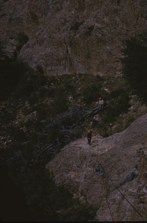
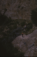
SAR personnel ascending hill with cables
SAR personnel ascending hill with cables
RD53. October 1964. "I think, based on geo. and veg. [geography and vegetation] that these are either GRCA or BIBE NP's [Grand Canyon or Big Bend National Parks]". [SAR personnel ascending hill with cables]. Robert Dunnagan. J-01-25-053.
Slide Number: J-01-25-053
U. S. National Park Service
Permission must be secured from the individual copyright owners to reproduce any copyrighted materials contained within this website.
Public domain
Image
Yosemite National Park, Code: YOSE
Yosemite National Park, California
Latitude: 37.8399200439453, Longitude: -119.540397644043
Latitude: 37.8399200439453, Longitude: -119.540397644043
2012/10/31
10/01/1964 - 10/30/1964
Public Can View
Person: Archivist
Organization: US National Park Service
Address: Yosemite National Park Archives, PO Box 700-W, El Portal, CA 95318
Email: yose_archives@nps.gov
Organization: US National Park Service
Address: Yosemite National Park Archives, PO Box 700-W, El Portal, CA 95318
Email: yose_archives@nps.gov
Wednesday, May 29, 2019 4:52:52 PM
Wednesday, May 29, 2019 4:52:52 PM
J-01-25-053.jpg
jpg
16.6 MB
Historic