Select Item below to DOWNLOAD - Once item is selected, right click and choose 'save as'
ee7573aa-9179-4e45-9ae1-09aca0cdebf3
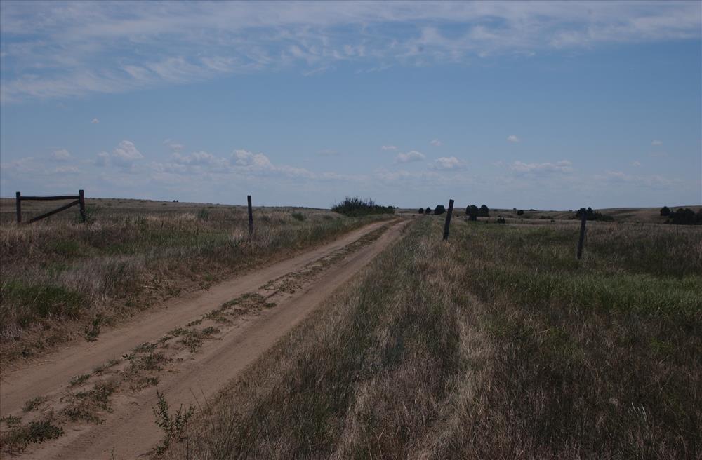
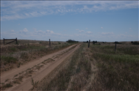
BADL South Unit Boundary Fence
Boundary Fence, Maps, and Photographs
U.S. National Park Service
Permission must be secured from the individual copyright owners to reproduce any copyrighted materials contained within this website. Digital assets without any copyright restrictions are public domain.
Public domain
Image
Badlands National Park, Code: BADL
Badlands National Park, South Dakota
Latitude: 43.8339996337891, Longitude: -102.393898010254
Latitude: 43.8339996337891, Longitude: -102.393898010254
PMIS (Project Management Information System) : PMIS: 191447
FMSS (Location Number) : FMSS Location: 85899
FMSS (Asset Number) : Asset Number: 327671
Legacy NPS Focus Record ID : 498433
FMSS (Location Number) : FMSS Location: 85899
FMSS (Asset Number) : Asset Number: 327671
Legacy NPS Focus Record ID : 498433
07/16/2004
07/16/2004
Born Digital
Public Can View
Tuesday, December 17, 2013 1:44:24 PM
Friday, March 22, 2019 10:29:30 AM
BADL-5c4aa7e18c7f4fea886c07678195c099.jpg
NIKON CORPORATION NIKON CORPORATION, NIKON D1X
10/2500 sec at f / 8
28 mm
Friday, July 16, 2004 6:22:57 PM
jpg
1.2 MB
Source: Legacy Focus Resource Type
Content: Digital data
Content: Digital data
Inventory
,
Map
,
Budget