Select Item below to DOWNLOAD - Once item is selected, right click and choose 'save as'
eb57806bb67b434f8d986f8affb03a43
hfca_1607_iva_016_24_066_5839_a
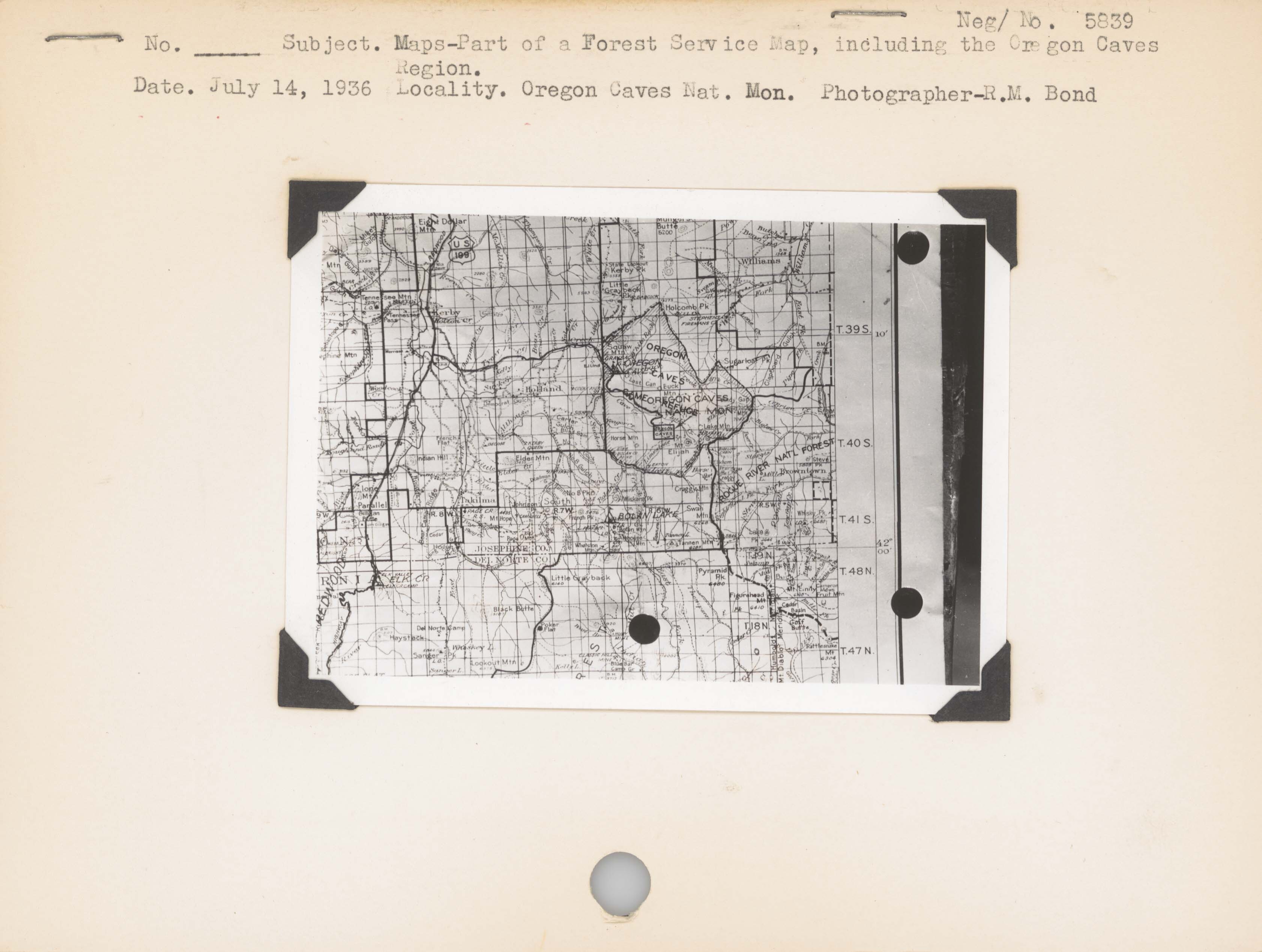
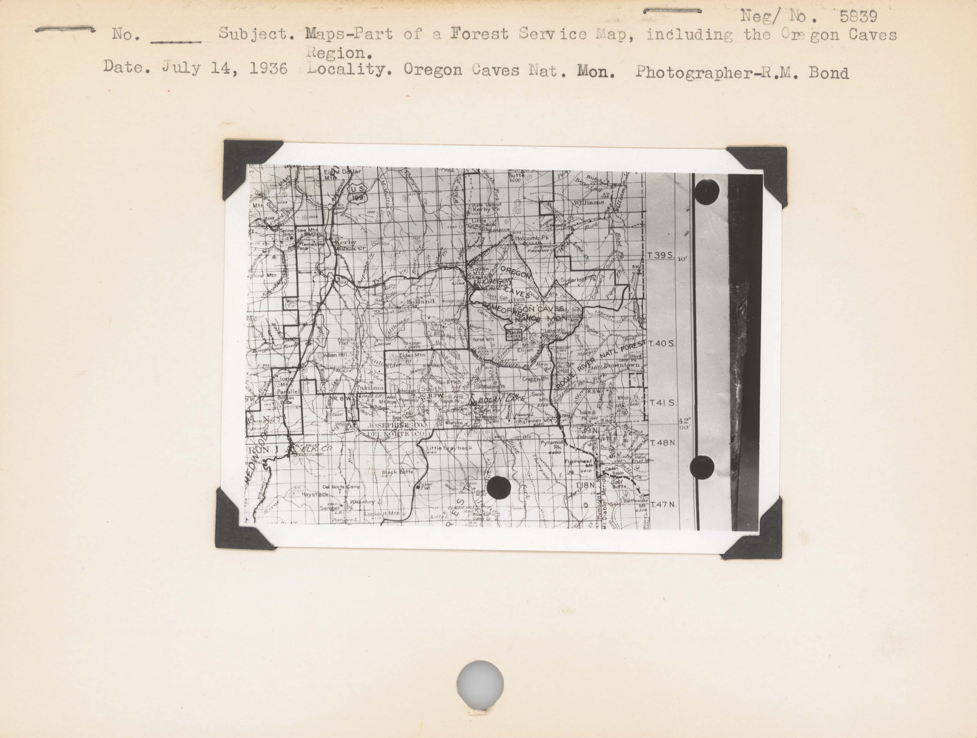
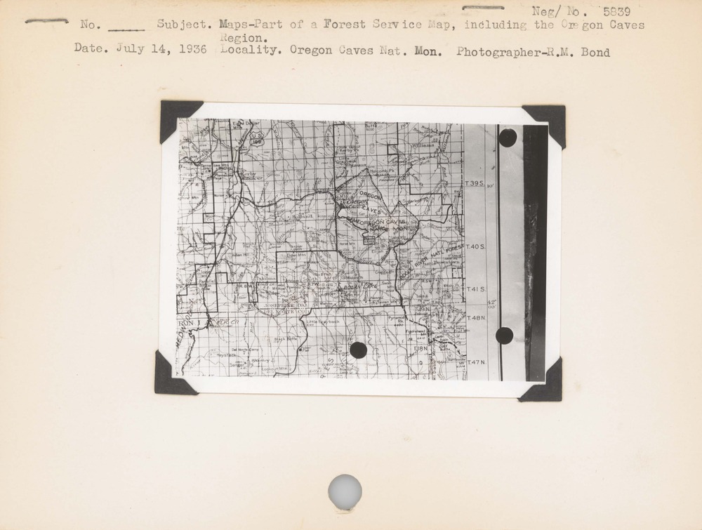
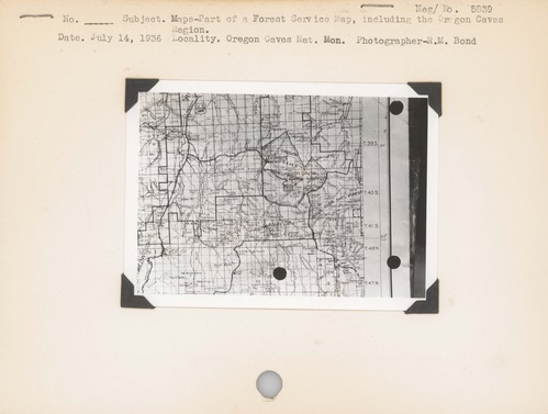
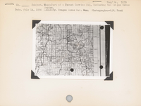
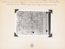
Maps--Part of a Forest Service map, including the Oregon Caves Region. Locality: Oregon Caves National Monument [Oregon Caves National Monument & Preserve]. Negative #: 5839
Scanned and described by NPS History Collection staff, February 2021. This project was made possible by donation from the Family of George Melendez Wright in honor of his legacy.
U.S. National Park Service
NO COPYRIGHT - UNITED STATES: The organization that has made the Item available believes that the Item is in the Public Domain under the laws of the United States, but a determination was not made as to its copyright status under the copyright laws of other countries. The Item may not be in the Public Domain under the laws of other countries. Please refer to the organization that has made the Item available for more information. Reference http://rightsstatements.org/vocab/NoC-US/1.0/
R. M. Bond
Public domain
Wildlife Survey, (NPS History Collection Themes)
Image
Oregon Caves National Monument and Preserve, Code: ORCA
Oregon Caves National Monument and Preserve, Josephine County, Oregon
Latitude: 42.0952987670898, Longitude: -123.403999328613
Latitude: 42.0952987670898, Longitude: -123.403999328613
NPS Museum Number Catalog : HFCA 1607
Title: Harpers Ferry Center
URL: https://www.nps.gov/subjects/hfc/nps-history-collection.htm
Title: Copyright
URL: http://rightsstatements.org/vocab/NoC-US/1.0/
URL: https://www.nps.gov/subjects/hfc/nps-history-collection.htm
Title: Copyright
URL: http://rightsstatements.org/vocab/NoC-US/1.0/
1936/07/14
Public Can View
Organization: National Park Service History Collection
Address: Harpers Ferry Center, PO Box 50, Harpers Ferry, WV, 25425, 304-535-6119
Email: HFC_Archivist@nps.gov
Address: Harpers Ferry Center, PO Box 50, Harpers Ferry, WV, 25425, 304-535-6119
Email: HFC_Archivist@nps.gov
Thursday, July 22, 2021 11:26:54 AM
Thursday, July 22, 2021 11:26:54 AM
hfca_1607_iva_016_24_066_5839_u.jpg
jpg
422.0 kB
Historic