Select Item below to DOWNLOAD - Once item is selected, right click and choose 'save as'
e9ac3f95-a715-4a2a-a61f-ec943c1cb1f3
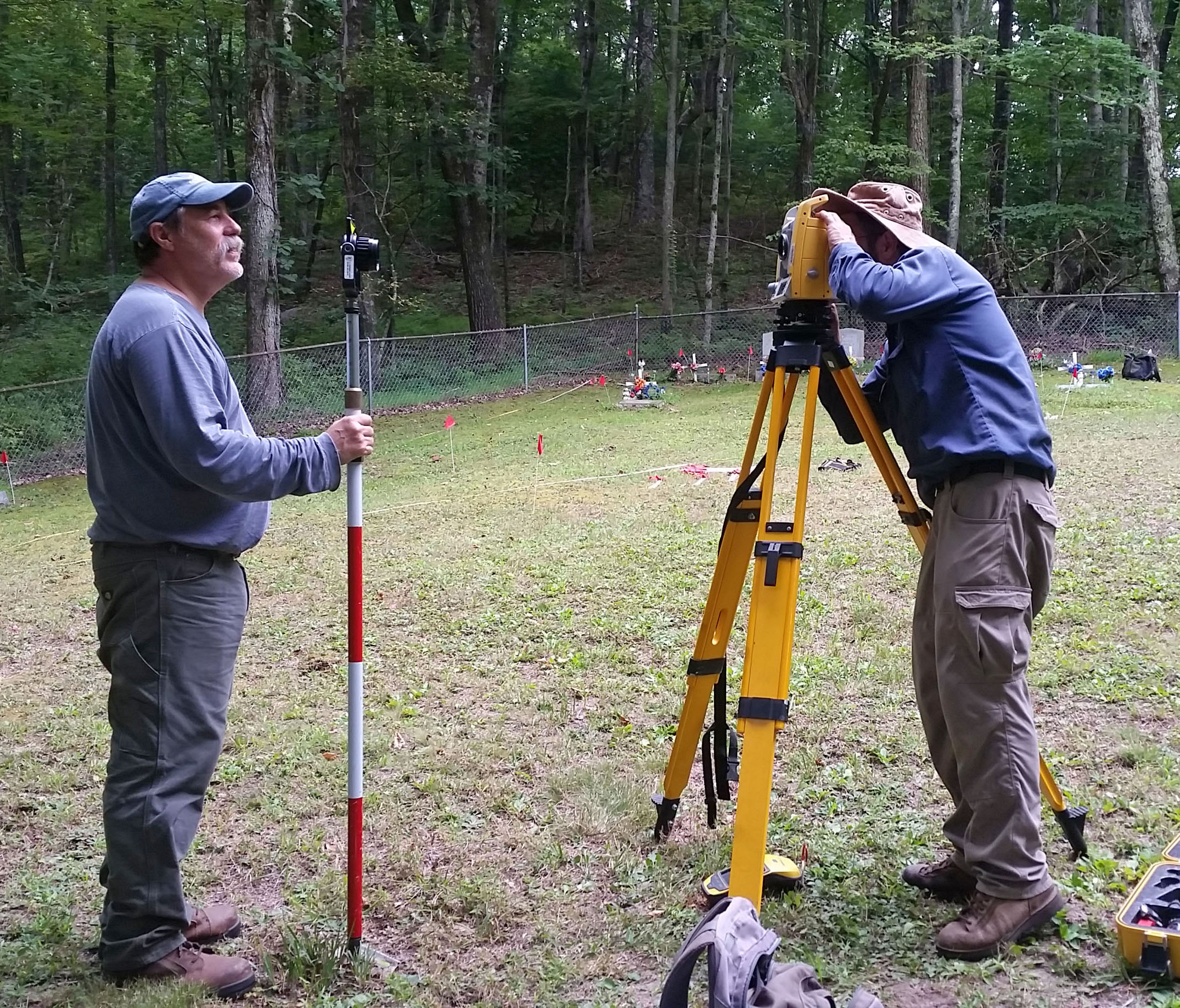
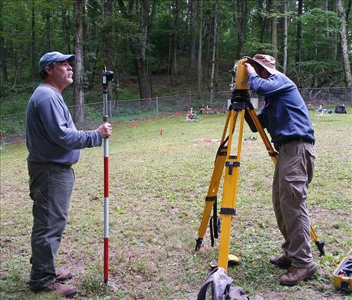
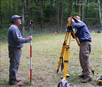
Recording Historic Cemeteries - Mapping graves with a total station
One archeologist holds the target on a grave stone, while the other focusses the total station on the target. Total stations, which use a laser, are extremely accurate.
Permission must be secured from the individual copyright owners to reproduce any copyrighted materials contained within this website. Digital assets without any copyright restrictions are public domain.
Public domain
Image
Blue Ridge Parkway, Code: BLRI
ANCS : SEAC-02728
02/23/2017
08/30/2015
Southeast Archeological Center archives
For a public web map
Public Can View
Person: Jill Halchin
Organization: National Park Service
Position: GIS Coordinator
Address: Southeast Archeological Center
Email: jill_halchin@nps.gov
Organization: National Park Service
Position: GIS Coordinator
Address: Southeast Archeological Center
Email: jill_halchin@nps.gov
Thursday, February 23, 2017 11:34:01 AM
Thursday, August 10, 2017 11:51:33 AM
totalstation.jpg
samsung samsung, SAMSUNG-SM-G900A
1/60 sec at f / 2.2
4.8 mm
ISO 50
Sunday, August 30, 2015 9:07:59 PM
jpg
1.0 MB
Museum
,
Map