Select Item below to DOWNLOAD - Once item is selected, right click and choose 'save as'
e53df683-3320-4455-85b4-e533c3d154f8
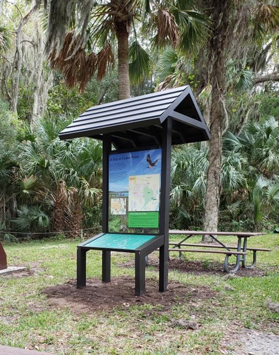
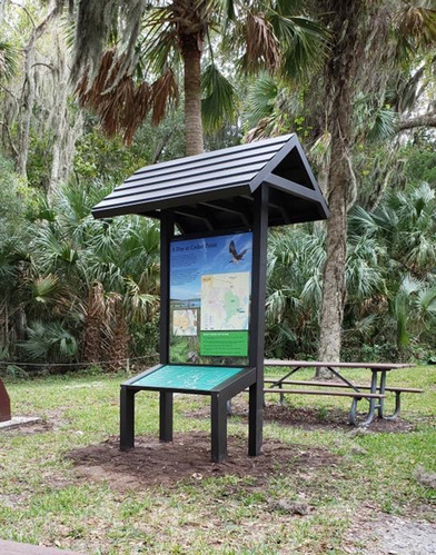
Trail Maps at Cedar Point
a small roof over a panel with a map and a tactile map below
Exhibit panels and trail maps were added in 2019.
Permission must be secured from the individual copyright owners to reproduce any copyrighted materials contained within this website. Digital assets without any copyright restrictions are public domain.
NPS Photo
Public domain:Full Granting Rights
Image
Timucuan Ecological and Historic Preserve, Code: TIMU
Timucuan Ecological and Historic Preserve, Duval County, Florida
Latitude: 30.4311008453369, Longitude: -81.4713973999023
Latitude: 30.4311008453369, Longitude: -81.4713973999023
11/04/2019
11/04/2019
Public Can View
Thursday, August 27, 2020 1:57:32 PM
Thursday, August 27, 2020 1:57:32 PM
Cedar Point wayside.jpg
Monday, November 4, 2019 5:51:59 PM
jpg
445.8 kB
Scenic