Select Item below to DOWNLOAD - Once item is selected, right click and choose 'save as'
e4246a728724421c8674893b7fb2a7a2
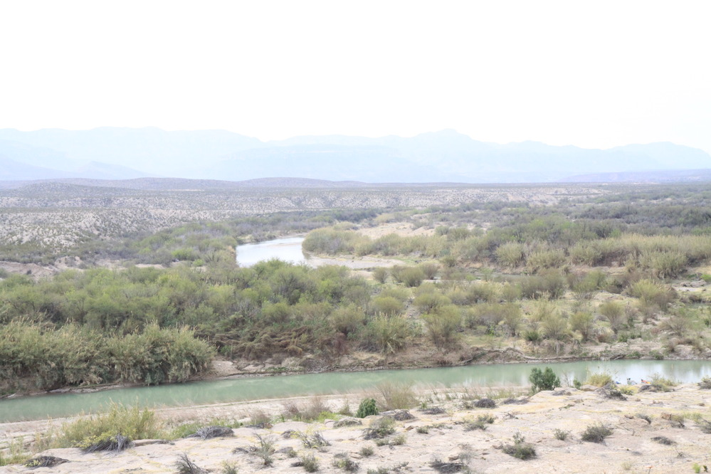
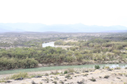
Taylors Farm. River Mile 753.71. March 2014.
Photo of the Rio Grande
Rio Grande vegetation monitoring, "Taylor's Farm" photopoint at river mile 753.71, March 2014.
U.S. National Park Service
Permission must be secured from the individual copyright owners to reproduce any copyrighted materials contained within this website. Digital assets without any copyright restrictions are public domain.
NPS Photo
Public domain:This photo was taken by staff at Big Bend National Park and is part of the public domain.
Image
Big Bend National Park, Code: BIBE
Rio Grande Wild and Scenic River, Code: RIGR
Rio Grande Wild and Scenic River, Code: RIGR
Big Bend National Park, Brewster County, Texas
Latitude: 29.3278388977051, Longitude: -103.205894470215
Rio Grande Wild and Scenic River, Texas
Latitude: 29.3278388977051, Longitude: -103.205894470215
Rio Grande Wild and Scenic River, Texas
3/2014
03/01/2014 - 03/30/2014
Public Can View
Person: Resource Management
Organization: US National Park Service
Address: Big Bend National Park, P.O. Box 129, TX 79834-0129
Organization: US National Park Service
Address: Big Bend National Park, P.O. Box 129, TX 79834-0129
Saturday, May 2, 2020 12:28:30 PM
Saturday, May 2, 2020 12:28:30 PM
BIBE_RioGrande_RioGrandeVegMonitoring_753.71TaylorsFarmL_20140302_16.JPG
jpg
741.6 kB
Monitoring