Select Item below to DOWNLOAD - Once item is selected, right click and choose 'save as'
e0cd78a3-4e1e-4e08-9146-f59596d34d29
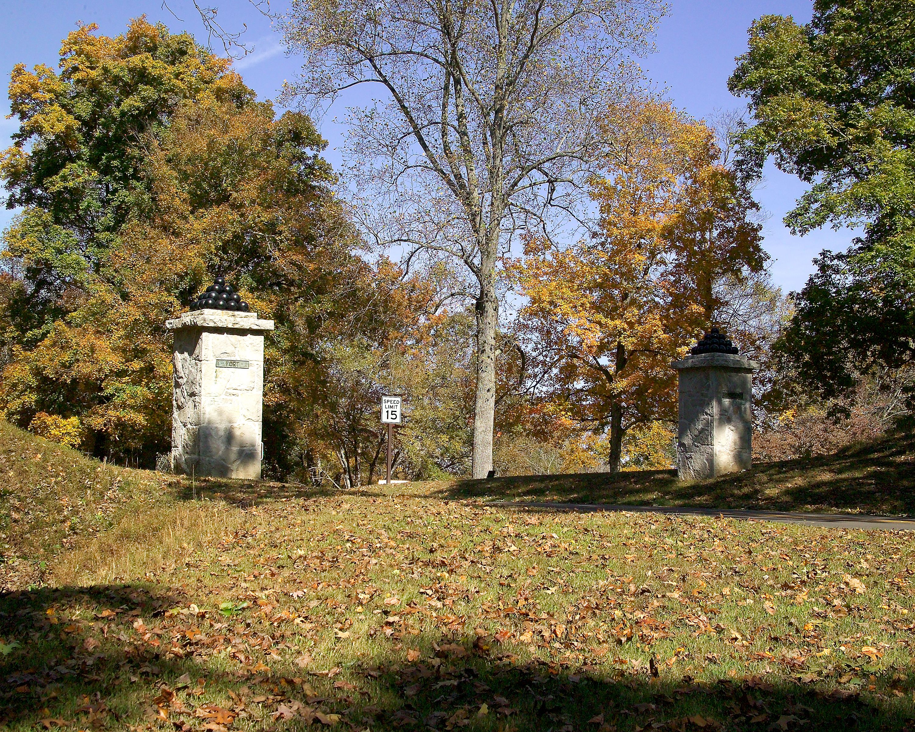
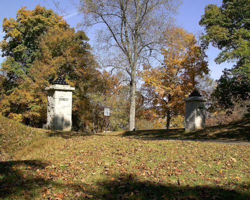
Fort Donelson Entrance at Fort Donelson National Battlefield in April 2005
Fort Donelson Entrance consists of two, 3'-7" square, 10'-7" tall limestone piers that flank the Fort Donelson Park Road. Piers feature a limestone cornice, cannon ball stack, and bronze plaques that read "Fort" and "Donelson". The entrance is part of designed landscape laid out by the War Department between 1928-1933. || Fort Donelson Entrance is significant at the local under NR Criterion C as part of designed landscape laid out by the War Department between 1928-1933.
Pt. 1. Southwest overall view
U.S. National Park Service
Permission must be secured from the individual copyright owners to reproduce any copyrighted materials contained within this website. Digital assets without any copyright restrictions are public domain.
Public domain
Image
Fort Donelson National Battlefield, Code: FODO
Fort Donelson National Battlefield
Latitude: 36.48497, Longitude: 87.86246
Latitude: 36.48497, Longitude: 87.86246
07/08/2005
01/01/1928 - 12/30/1933
Image
Public Can View
Friday, August 20, 2010 1:04:01 AM
Thursday, August 10, 2017 11:10:39 AM
FODO-5b9c4d4bcd8142a2a696c490e41f25c2.tif
Kodak Kodak, DCS Pro SLR/c
1/250 sec at f / 13
44 mm
Sunday, October 17, 2004 6:54:42 PM
tif
23.2 MB
Inventory