Select Item below to DOWNLOAD - Once item is selected, right click and choose 'save as'
df95b889-392f-4959-b161-9b841c9b4f34
BICA_LTM_Veg010_PP02_2023_W.jpg
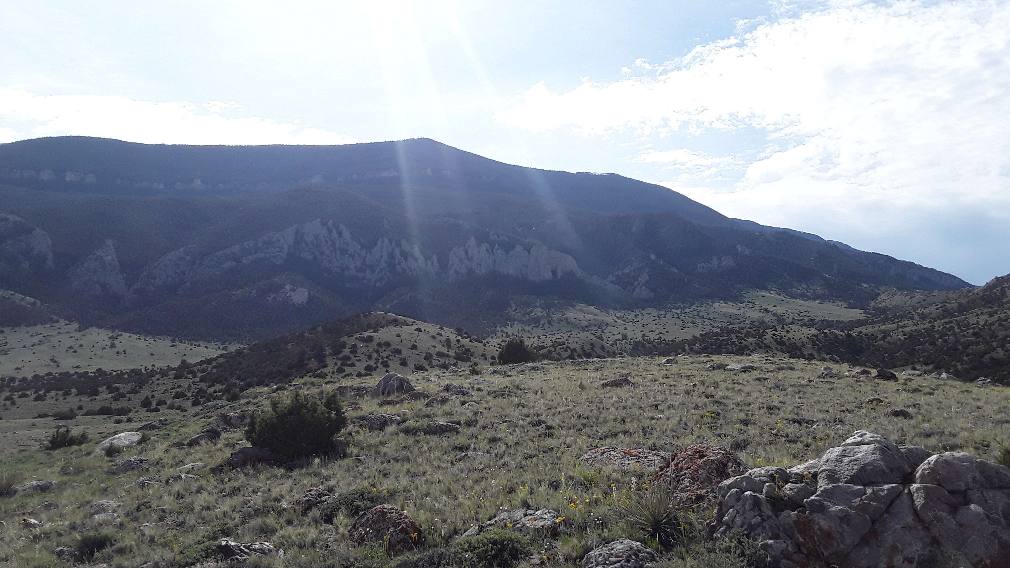
Photo of the landscape and upland vegetation in Bighorn Canyon National Recreation Area.
Permission must be secured from the individual copyright owners to reproduce any copyrighted materials contained within this website. Digital assets without any copyright restrictions are public domain.
Public domain:Full Granting Rights
Image
Greater Yellowstone Network, Code: GRYN
Bighorn Canyon National Recreation Area, Code: BICA
Bighorn Canyon National Recreation Area, Code: BICA
Latitude: 45.1407515833333, Longitude: -108.253938583333, Elevation: 1411.564
Bighorn Canyon National Recreation Area
Latitude: 45.2888603210449, Longitude: -108.027099609375
Bighorn Canyon National Recreation Area
Latitude: 45.2888603210449, Longitude: -108.027099609375
06/01/2023
06/01/2023
Public Can View
Person: Rob Daley
Organization: NPS Greater Yellowstone Network
Role: Data Manager
Position: Data Manager
Address: Bozeman Montana
Email: Rob_Daley@nps.gov
Organization: NPS Greater Yellowstone Network
Role: Data Manager
Position: Data Manager
Address: Bozeman Montana
Email: Rob_Daley@nps.gov
Tuesday, September 24, 2024 6:23:03 PM
Tuesday, September 24, 2024 11:17:14 PM
BICA_LTM_Veg010_PP02_2023_W.jpg
samsung samsung, SM-T390
1/2375 sec at f / 1.9
2.91 mm
ISO 40
Thursday, June 1, 2023 4:51:40 PM
jpg
594.8 kB
Scenic
,
Monitoring