Select Item below to DOWNLOAD - Once item is selected, right click and choose 'save as'
dbd73a0a-8ed3-419c-9855-92cc5c7546b7
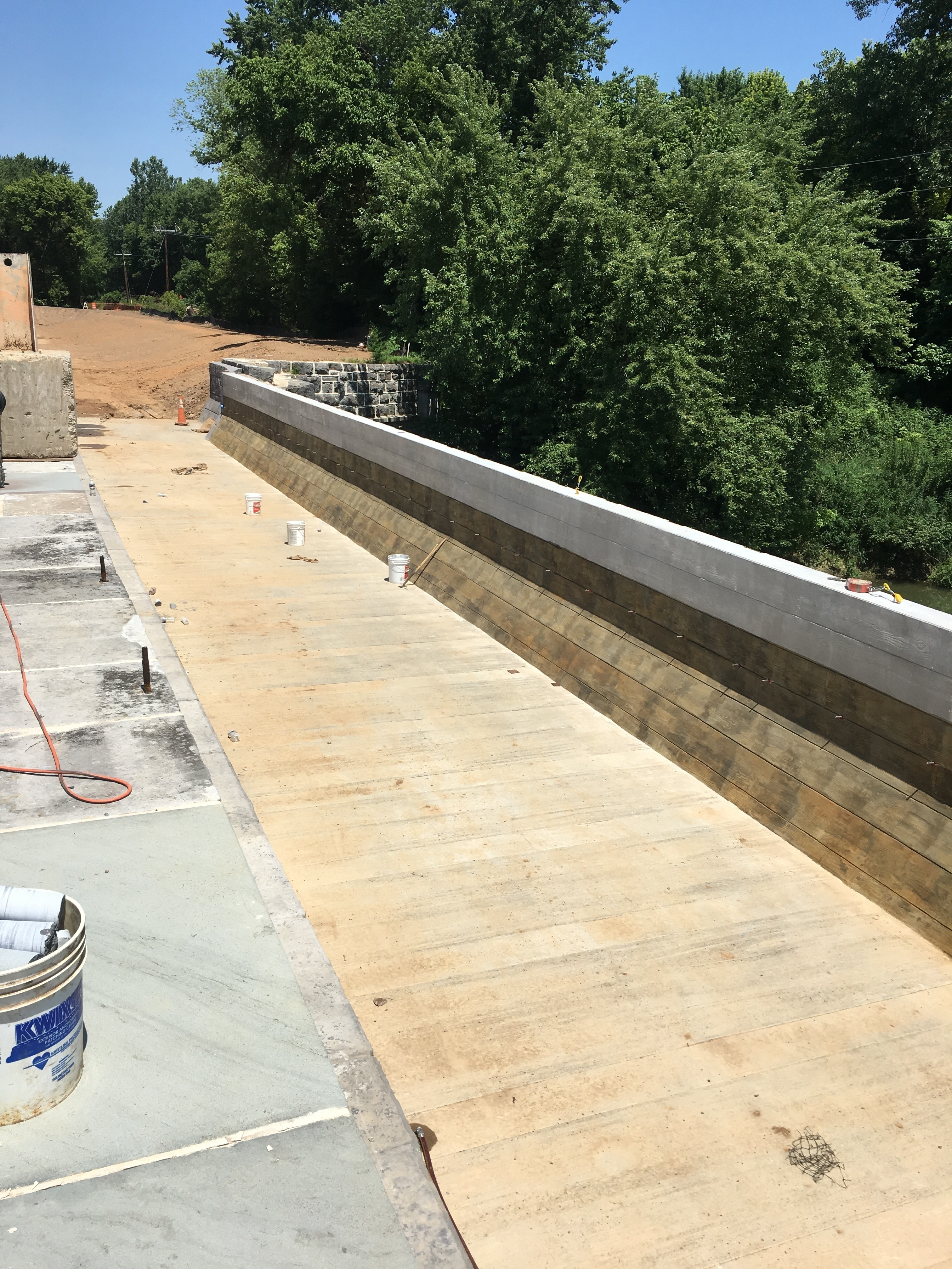
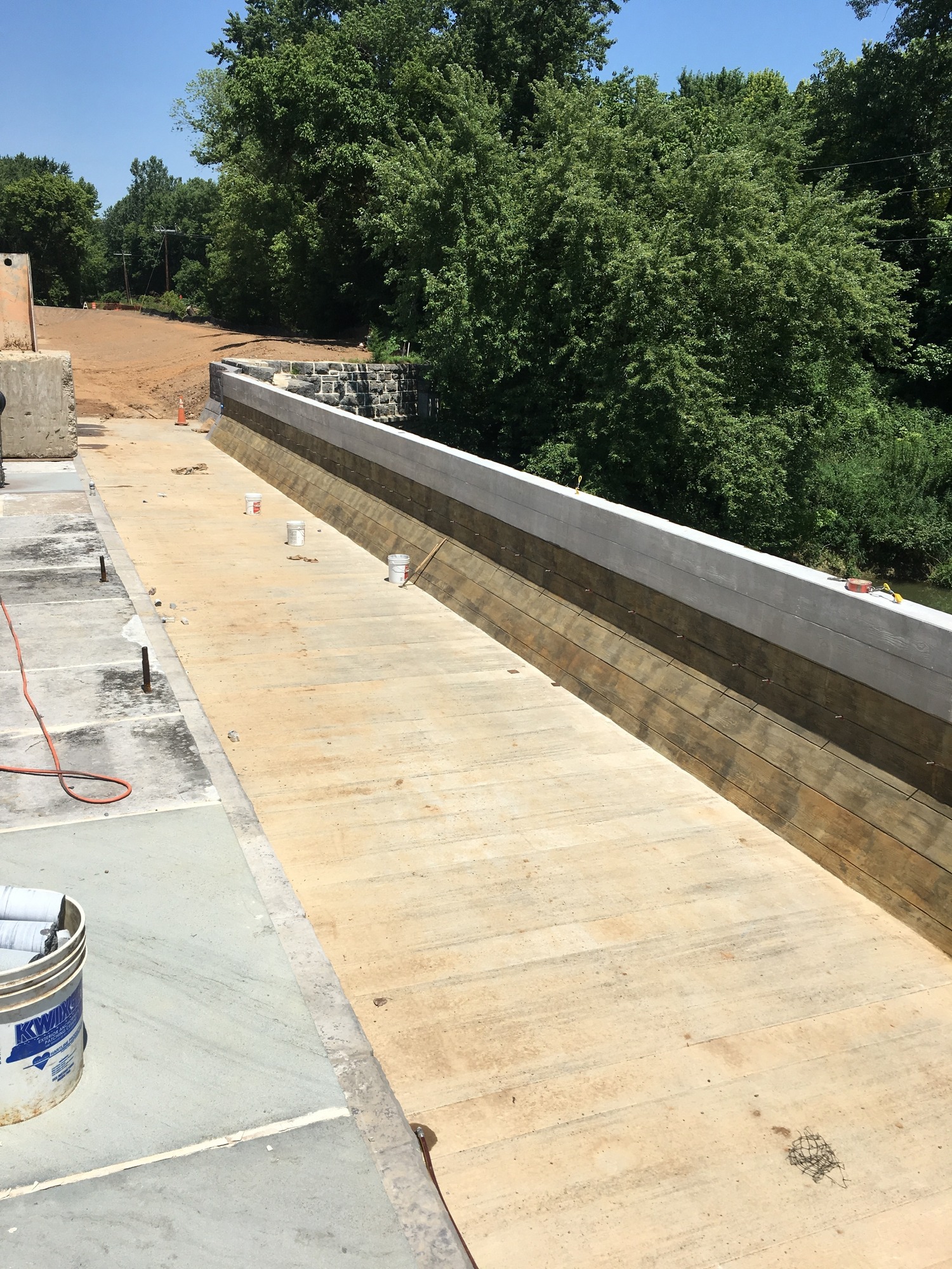
Dry Aqueduct
An empty aqueduct
The completed aqueduct before it filled with water.
Permission must be secured from the individual copyright owners to reproduce any copyrighted materials contained within this website. Digital assets without any copyright restrictions are public domain.
Public domain:Full Granting Rights
Image
Chesapeake and Ohio Canal National Historical Park, Code: CHOH
Chesapeake and Ohio Canal National Historical Park
Latitude: 39.5996513366699, Longitude: -77.9448394775391
Latitude: 39.5996513366699, Longitude: -77.9448394775391
07/02/2019
07/02/2019
Public Can View
Saturday, August 3, 2019 10:30:44 AM
Saturday, August 3, 2019 10:30:44 AM
IMG_4699.JPG
Apple Apple, iPhone 6s 25, iPhone 6s back camera 4.15mm f/2.2
1/1972 sec at f / 2.2
4.15 mm
ISO 25
Tuesday, July 2, 2019 6:27:48 PM
jpg
3.6 MB
Scenic