Select Item below to DOWNLOAD - Once item is selected, right click and choose 'save as'
daaf1424-5588-4055-80ef-3a818b0ed03e
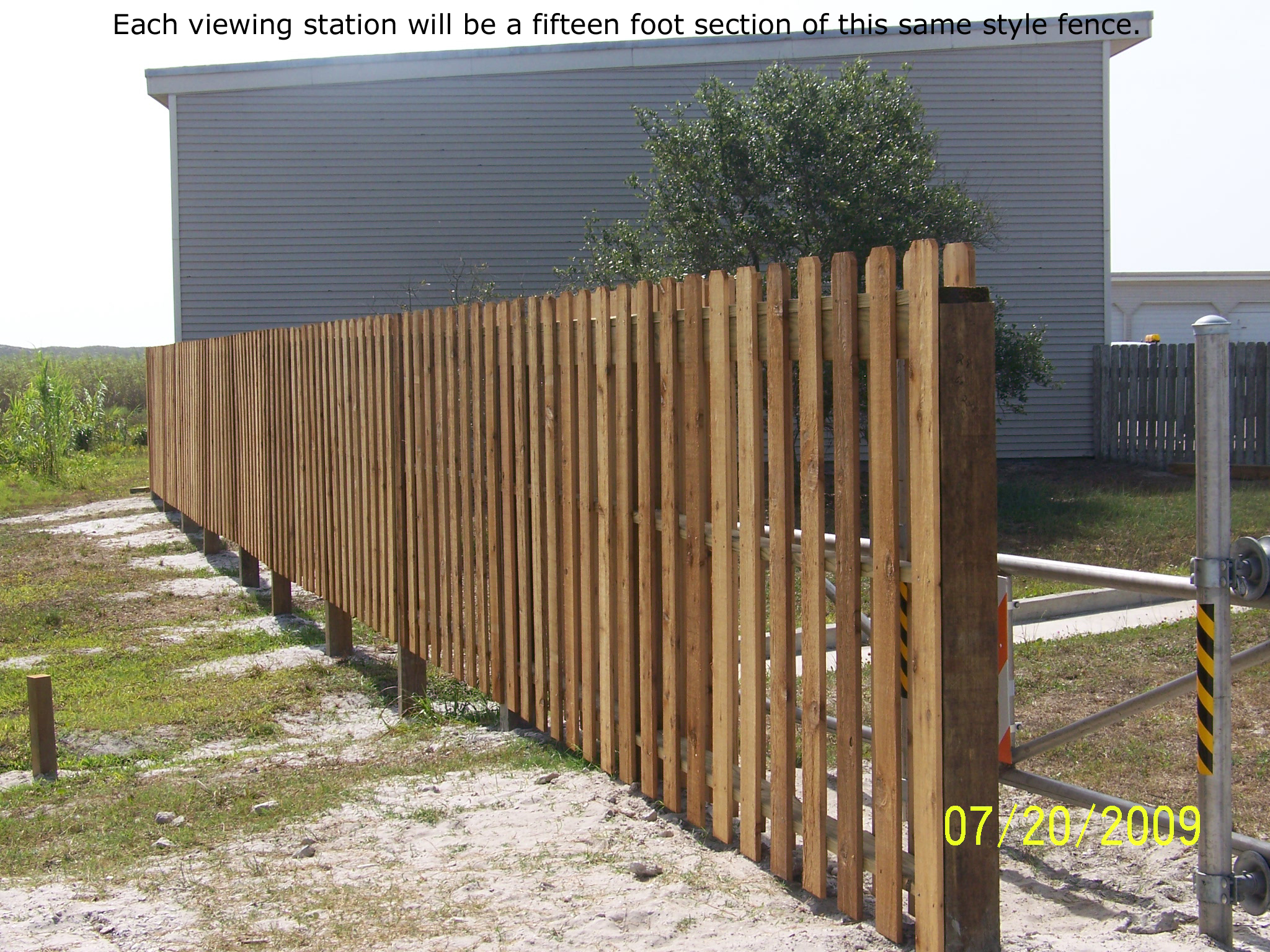
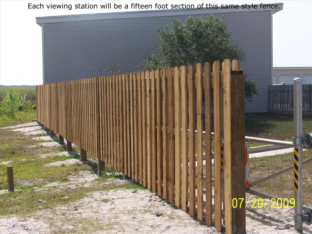
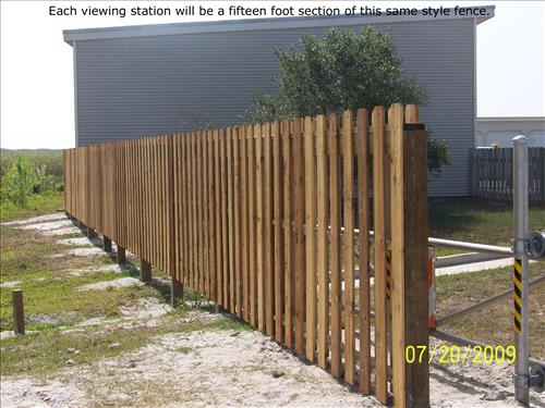
Planned Sites for Future Wildlife Viewing Stations
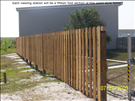
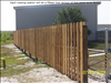
The photos from Google Earth show the planned locations for four wildlife viewing stations. The photo of the fence shows the style of fence that will be used in construction of the stations.
Each photo is labeled/captioned.
Permission must be secured from the individual copyright owners to reproduce any copyrighted materials contained within this website. Digital assets without any copyright restrictions are public domain.
Public domain
Image
Padre Island National Seashore, Code: PAIS
Northern portion of park, Padre Island National Seashore, Texas
Latitude: 26.7036590576172, Longitude: -97.3406829833984
Latitude: 26.7036590576172, Longitude: -97.3406829833984
Legacy NPS Focus Record ID : 249267
07/20/2009
01/01/2009 - 07/19/2009
Public Can View
Tuesday, December 1, 2009 8:06:26 AM
Thursday, August 10, 2017 10:36:59 AM
PAIS-3611605a042d48d2931daf96392264fd.jpg
EASTMAN KODAK COMPANY EASTMAN KODAK COMPANY, KODAK Z612 ZOOM DIGITAL CAMERA
1/640 sec at f / 4.5
10.5 mm
ISO 80
Monday, July 20, 2009 4:48:40 PM
jpg
2.3 MB
Scenic