Select Item below to DOWNLOAD - Once item is selected, right click and choose 'save as'
da6cb70f-4ee3-45da-9c0b-a1dc01200282
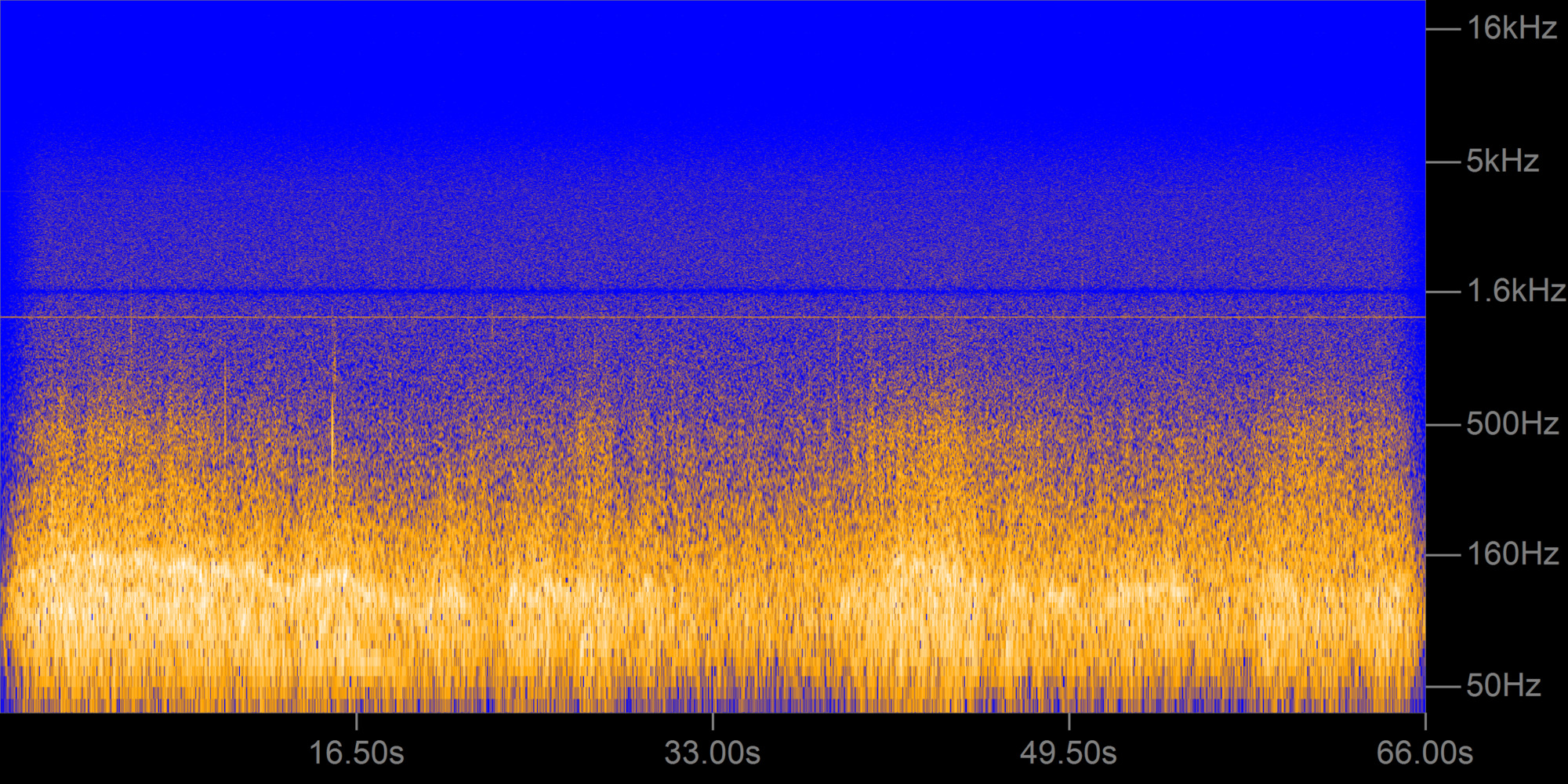
Badwater02.png
Spectrogram of Badwater Basin recording
Permission must be secured from the individual copyright owners to reproduce any copyrighted materials contained within this website. Digital assets without any copyright restrictions are public domain.
Public domain
Image
Death Valley National Park, Code: DEVA
Death Valley National Park
Latitude: 36.5675506591797, Longitude: -117.138999938965
Latitude: 36.5675506591797, Longitude: -117.138999938965
01/01/2008
Public Can View
Person: Ashley Pipkin
Friday, March 25, 2022 10:08:45 PM
Friday, March 25, 2022 10:31:54 PM
Badwater02.png
png
2.1 MB
Map