Select Item below to DOWNLOAD - Once item is selected, right click and choose 'save as'
d88f08daef814127860441bfcb1871dd
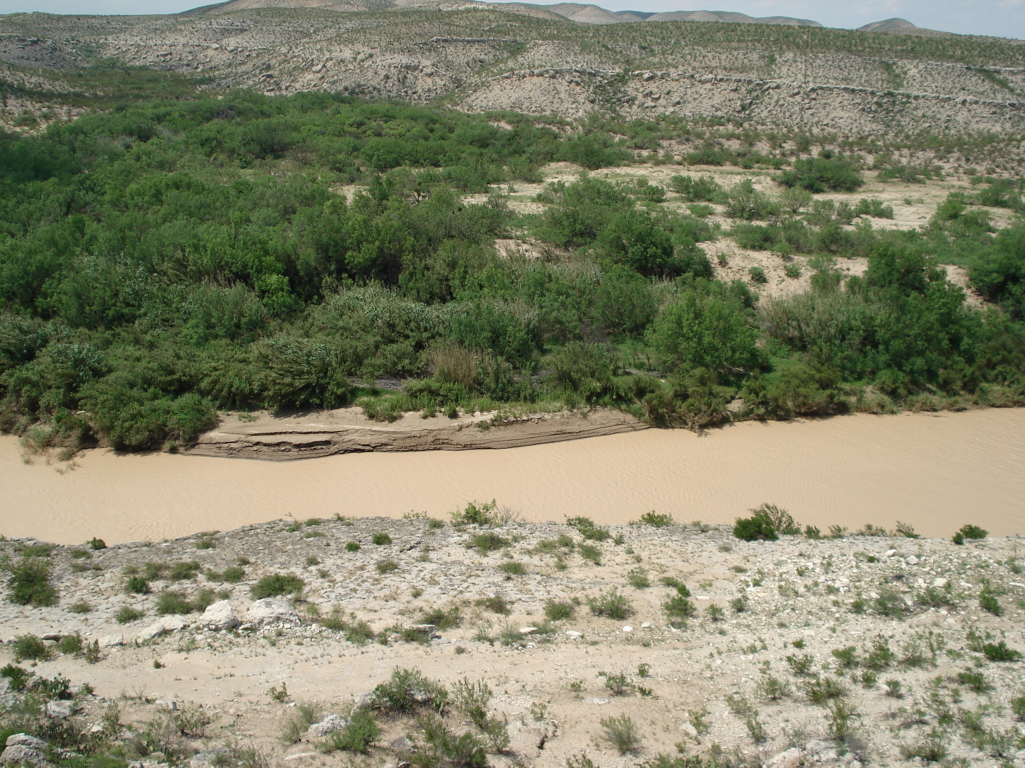
Martin Canyon. River Mile 676.9. May 2007.
Photo of the Rio Grande
Rio Grande vegetation monitoring, Martin Canyon photopoint at river mile 676.9, May 2007.
U.S. National Park Service
This photopoint is on the Mexican side.
Permission must be secured from the individual copyright owners to reproduce any copyrighted materials contained within this website. Digital assets without any copyright restrictions are public domain.
NPS Photo
Public domain:This photo was taken by staff at Big Bend National Park and is part of the public domain.
Image
Big Bend National Park, Code: BIBE
Rio Grande Wild and Scenic River, Code: RIGR
Rio Grande Wild and Scenic River, Code: RIGR
Latitude: 3299709.6983, Longitude: 214373.8841
Big Bend National Park, Brewster County, Texas
Latitude: 29.3278388977051, Longitude: -103.205894470215
Rio Grande Wild and Scenic River, Texas
Big Bend National Park, Brewster County, Texas
Latitude: 29.3278388977051, Longitude: -103.205894470215
Rio Grande Wild and Scenic River, Texas
20070508
05/08/2007
Public Can View
Person: Resource Management
Organization: US National Park Service
Address: Big Bend National Park, P.O. Box 129, TX 79834-0129
Organization: US National Park Service
Address: Big Bend National Park, P.O. Box 129, TX 79834-0129
Monday, April 20, 2020 8:10:46 AM
Monday, April 20, 2020 8:10:46 AM
RIGR_RioGrande_RioGrandeVegMonitoring_676.9MartinCanyonR_20070508_4.JPG
jpg
1.5 MB
Scenic
,
Monitoring