Select Item below to DOWNLOAD - Once item is selected, right click and choose 'save as'
d5a45ebe-7e63-42d9-aabe-3d11b1e3fe29
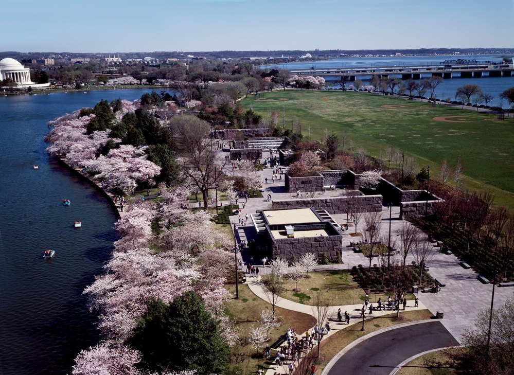
Franklin Delano Roosevelt Memorial from the Air
An aerial photograph of the FDR Memorial
An aerial photograph of the Franklin Delano Roosevelt Memorial
Permission must be secured from the individual copyright owners to reproduce any copyrighted materials contained within this website. Digital assets without any copyright restrictions are public domain.
Carol M. Highsmith's America, Library of Congress, Prints and Photographs Division.
Public domain:Full Granting Rights
Image
Franklin Delano Roosevelt Memorial, Code: FRDE
Franklin Delano Roosevelt Memorial, District of Columbia , District of Columbia
Latitude: 38.8833999633789, Longitude: -77.043098449707
Latitude: 38.8833999633789, Longitude: -77.043098449707
01/01/0001
Public Can View
Wednesday, April 22, 2020 8:12:51 AM
Wednesday, April 22, 2020 8:12:51 AM
FDR memorial aerial.jpg
Monday, January 1, 0001 12:00:00 AM
jpg
480.6 kB
Scenic