Select Item below to DOWNLOAD - Once item is selected, right click and choose 'save as'
d23dbcd2-99d2-4931-b728-e5809a03ca76
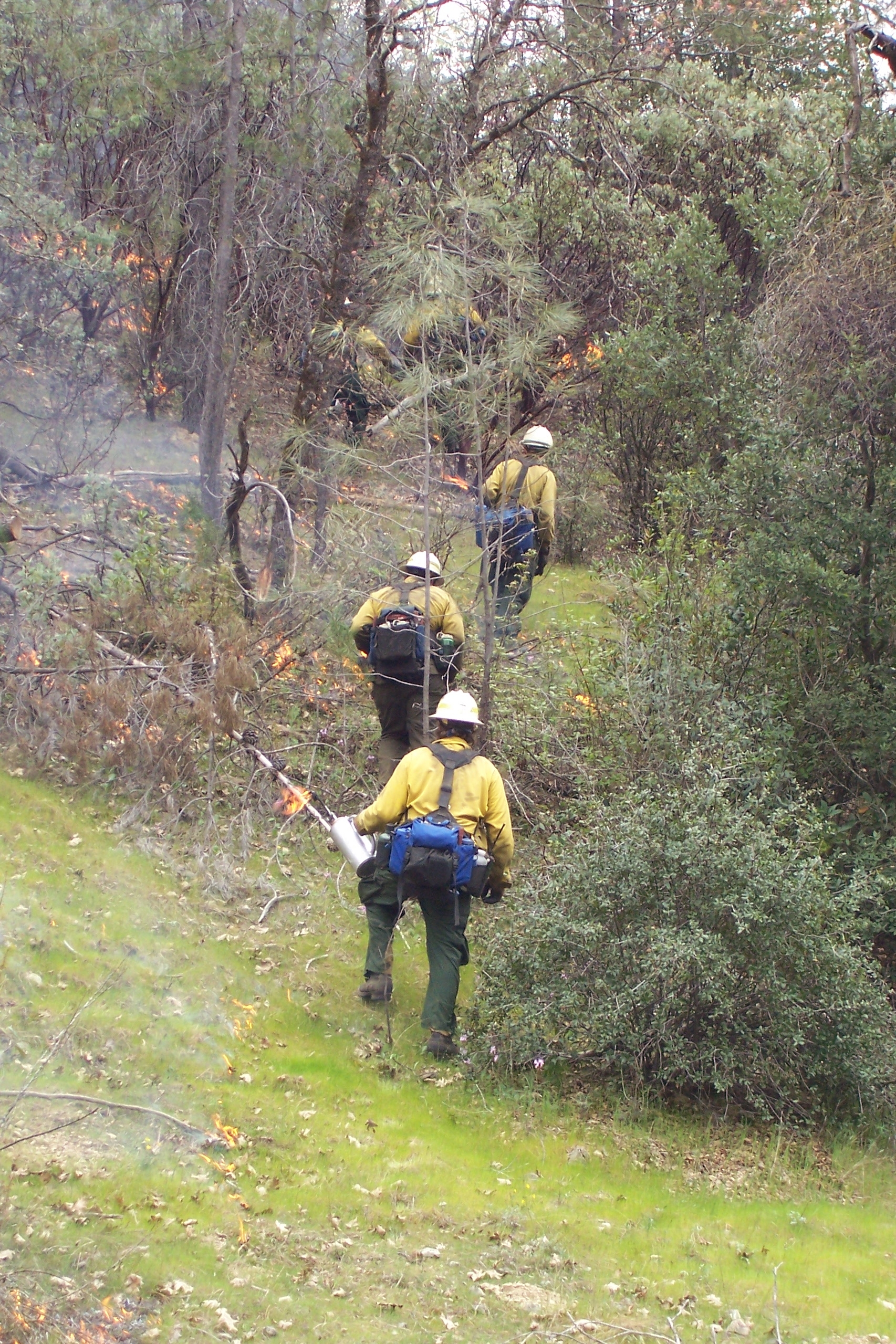
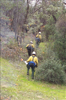
Firestorm ignites along the perimeter of the Buck A Prescribed Fire
Firestorm, a contract crew, ignites the Buck A Prescribed Fire as they climb a hill.
U.S. National Park Service
Permission must be secured from the individual copyright owners to reproduce any copyrighted materials contained within this website. Digital assets without any copyright restrictions are public domain.
Public domain
Firefighters, ()
, Firefighting equipment, ()
, Fire ignition, ()
, Fire and aviation management, ()
, Firefighting equipment, ()
, Fire ignition, ()
, Fire and aviation management, ()
Image
Whiskeytown National Recreation Area, Code: WHIS
Fire and Aviation Management Program, Code: FIRE
Fire and Aviation Management Program, Code: FIRE
Whiskeytown National Recreation Area, Shasta County, California
Latitude: 40.6136016845703, Longitude: -122.601997375488
Latitude: 40.6136016845703, Longitude: -122.601997375488
Legacy NPS Focus Record ID : 232475
HTTP://DATA2.ITC.NPS.GOV/FIRE/PUBLIC/PUB_FIRENEWS_DETAIL.CFM?POSTID
04/15/2005
03/17/2005
Image
Public Can View
Friday, April 15, 2005 3:21:40 PM
Thursday, August 10, 2017 9:52:00 AM
WHIS-BuckARXFirestormIgniting-20050317.jpg
EASTMAN KODAK COMPANY EASTMAN KODAK COMPANY, KODAK CX7530 ZOOM DIGITAL CAMERA
1/125 sec at f / 4.6
16.8 mm
Thursday, March 17, 2005 7:27:30 PM
jpg
3.8 MB
Events
,
Inventory