Select Item below to DOWNLOAD - Once item is selected, right click and choose 'save as'
d1972f1b-8c41-4a25-a1a9-fbbaeebf00ad
COLO
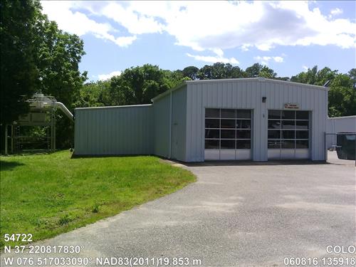
YMA Bldg K: Cannon Shop and Fire Cache 42Y712T4
Image with visible watermark of coordinates, elevations date, time and park code.
54722
4100
Permission must be secured from the individual copyright owners to reproduce any copyrighted materials contained within this website. Digital assets without any copyright restrictions are public domain.
Public domain
Asset Inventory, (NPS Focus Subject Thesaurus)
, Coastal, (NPS Focus Subject Thesaurus)
, Elevations, (NPS Focus Subject Thesaurus)
, FMSS, (NPS Focus Subject Thesaurus)
, Coastal, (NPS Focus Subject Thesaurus)
, Elevations, (NPS Focus Subject Thesaurus)
, FMSS, (NPS Focus Subject Thesaurus)
Image
Colonial National Historical Park, Code: COLO
Virginia
Latitude: 37.22081783, Longitude: -76.51703309, Elevation: 19.853
Latitude: 37.22081783, Longitude: -76.51703309, Elevation: 19.853
FMSS (Location Number) : 54722
06/08/2016
06/08/2016
Public Can View
Organization: FMGIS
Email: Brian_Diethorn@partner.nps.gov
Email: Brian_Diethorn@partner.nps.gov
Tuesday, December 13, 2016 4:58:14 PM
Thursday, August 10, 2017 9:50:54 AM
54722_060816_135918_tag.jpg
Pegatron Pegatron, Getac Z710
812/1000000 sec at f / 2.8
3.37 mm
ISO 71
Wednesday, June 8, 2016 7:58:54 PM
jpg
3.5 MB
Source: LOCALTIDAL_MSL
Content: 19.919
Content: 19.919
Inventory