Select Item below to DOWNLOAD - Once item is selected, right click and choose 'save as'
ca9cbe69a2cd46ff9d9b318ae5bc695d
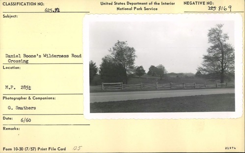
Daniel Boone Wilderness (Boone's Trace) Road Crossing
Daniel Boone Wilderness (Boone's Trace) Road Crossing
Milepost 285, Blue Ridge Parkway
U.S. National Park Service
Permission must be secured from the individual copyright owners to reproduce any copyrighted materials contained within this website.
Garrett Smathers
Public domain
Image
Blue Ridge Parkway, Code: BLRI
Milepost 285, Blue Ridge Parkway
Blue Ridge Parkway
Latitude: 36.4365005493164, Longitude: -81.070556640625
Blue Ridge Parkway
Latitude: 36.4365005493164, Longitude: -81.070556640625
June 1960
06/01/1960 - 06/29/1960
Public Can View
Organization: US National Park Service
Role: Museum Curator
Address: Blue Ridge Parkway Headquarters
Email: blri_info@nps.gov
Role: Museum Curator
Address: Blue Ridge Parkway Headquarters
Email: blri_info@nps.gov
Friday, February 7, 2020 9:30:19 AM
Friday, February 7, 2020 9:30:19 AM
0005_MP285_1.tif
tif
11.0 MB
Scenic
,
Historic