Select Item below to DOWNLOAD - Once item is selected, right click and choose 'save as'
C5075C63-1DD8-B71C-07A071CFF6895809
I Know Where We Are
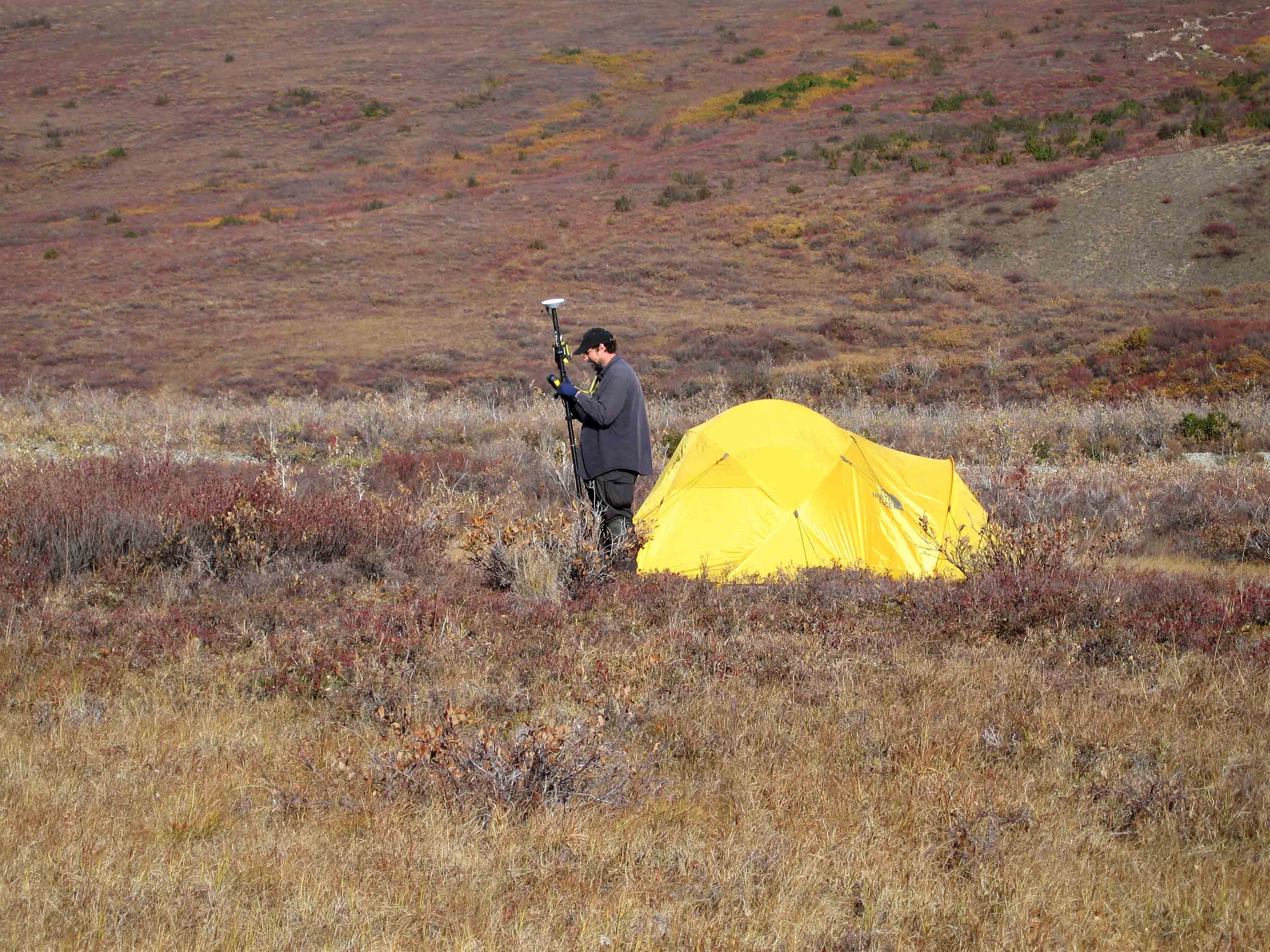
Scientist and tent
An archeologist uses a complex GPS unit (in his hand) and a powerful antenna device (on the pole) to plot his location during the initial investigation of a prehistoric site in the park.
U.S. National Park Service
Permission must be secured from the individual copyright owners to reproduce any copyrighted materials contained within this website. Digital assets without any copyright restrictions are public domain.
NPS Photo
Public domain:Full Granting Rights
Image
Kobuk Valley National Park, Code: KOVA
Kobuk Valley National Park, Northwest Arctic Borough, Alaska
Latitude: 67.353401184082, Longitude: -159.199005126953
Latitude: 67.353401184082, Longitude: -159.199005126953
9/4/2006 12:30:03 PM
Public Can View
Thursday, May 3, 2018 8:49:20 AM
Thursday, May 3, 2018 8:49:20 AM
C5089C5E-1DD8-B71C-074DD42AB1D272FC.jpg
Canon Canon, Canon PowerShot SD500
1/400 sec at f / 4.9
23.1 mm
Monday, September 4, 2006 6:30:03 PM
jpg
2.1 MB
Scenic