Select Item below to DOWNLOAD - Once item is selected, right click and choose 'save as'
b8b3a4c7-ae76-4da4-981c-6cb940e61bce
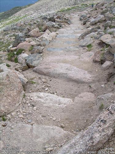
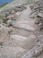
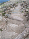
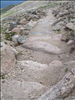
Waterbar and Retainer Bar,4540 WM#,Rock,Water Bar,6 FT,S2 LP-04
This image was captured during the Facilities Management GIS project to document assets that are included in FMSS.
Image with visible watermark of coordinates, date and park code
U.S. National Park Service
Brian Diethorn;NPS Park Facility Management Program;GIS Data Manager;Brian_Diethorn@contractor.nps.gov
XP N 40° 15.984' W 105° 35.656'
Copyright 2006
Public domain:This image was added as part of a large batch project. Some images in the batch job are in the public domain and some may be copyrighted by a contracting photographer. To determine the restrictions that may apply to the image(s) on this record, contact the author to request further information.
Asset inventory, ()
, Facility Management GIS Data Collection, ()
, NPS Equipment, ()
, Waterbar -Trail, ()
, Facility Management GIS Data Collection, ()
, NPS Equipment, ()
, Waterbar -Trail, ()
Image
Rocky Mountain National Park, Code: ROMO
Park Facility Management Division GIS Program, Code: PFMD-GIS
Park Facility Management Division GIS Program, Code: PFMD-GIS
Rocky Mountain National Park, Colorado
Latitude: 40.26640502, Longitude: 105.59426419
Latitude: 40.26640502, Longitude: 105.59426419
FMSS (Equipment/Feature Number) : 535670
FMSS (WBS Sub Component) : G203002
NPS Metadata Globally Unique Identifier : {A431A421-D749-43B7-95D3-39FF51DC4AC7}
Legacy NPS Focus Record ID : 244426
FMSS (WBS Sub Component) : G203002
NPS Metadata Globally Unique Identifier : {A431A421-D749-43B7-95D3-39FF51DC4AC7}
Legacy NPS Focus Record ID : 244426
07/20/2007
07/24/2007
Public Can View
XP GPS-Photo Link - Version 4.0.49 - NPS Edition
Friday, August 22, 2008 12:14:00 AM
Thursday, August 10, 2017 6:57:40 AM
ROMO-79f364f83fbf4fa78170ee11346057d6.jpg
NIKON NIKON, COOLPIX L4
1/250 sec at f / 4.6
6.3 mm
ISO 50
Tuesday, July 24, 2007 4:50:57 PM
jpg
1.4 MB
Inventory