Select Item below to DOWNLOAD - Once item is selected, right click and choose 'save as'
B5385B9A-1DD8-B71B-0BBFB1ABE4D5CD3B
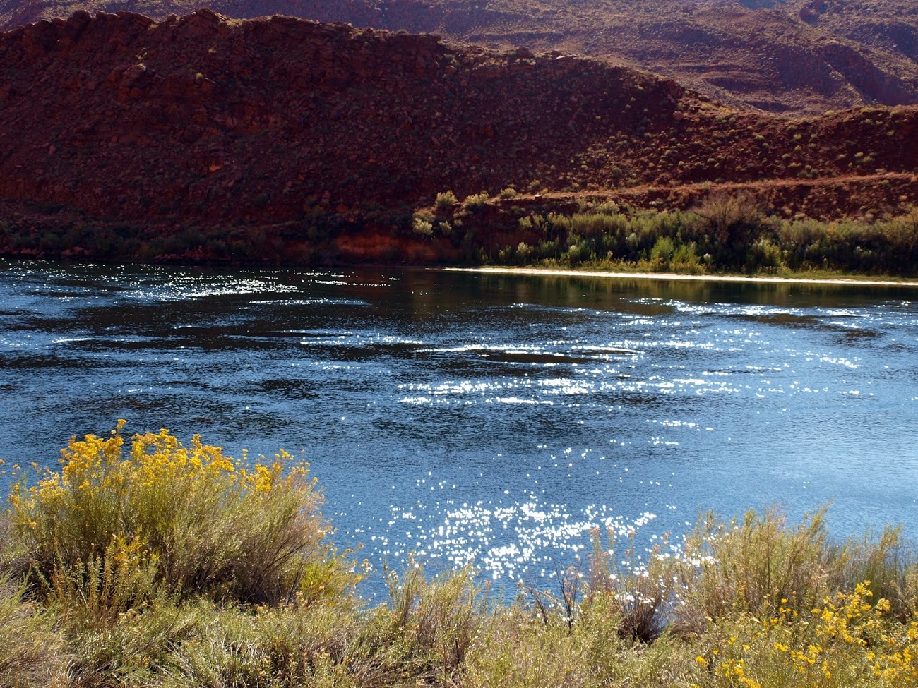
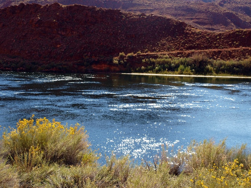
Lees Ferry
Lees Ferry
Road bed near Lees Ferry Crossing The Arizona Road/Honeymoon Trail meandered through the district and connected Lees Ferry and Lonely Dell Ranch. Originally a simple path, it was later paved. Part of the road that parallels the Colorado River has been stabilized and now provides and interpretive trail for visitors. Lees Ferry and Lonely Dell Ranch Landscape
Glen Canyon National Recreation Area
U.S. National Park Service
Permission must be secured from the individual copyright owners to reproduce any copyrighted materials contained within this website. Digital assets without any copyright restrictions are public domain.
Public domain:Full Granting Rights
Image
Glen Canyon National Recreation Area, Code: GLCA
Park Cultural Landscapes Program, Code: PCLP
Park Cultural Landscapes Program, Code: PCLP
Glen Canyon National Recreation Area
Latitude: 37.3976707458496, Longitude: -110.802101135254
11/24/2015 11:34:53 AM
Public Can View
Wednesday, September 12, 2018 3:13:31 PM
Wednesday, September 12, 2018 3:13:31 PM
B538EB8E-1DD8-B71B-0BDE1F783E4BEEB9.jpg
Monday, January 1, 0001 12:00:00 AM
jpg
481.2 kB
Scenic