Select Item below to DOWNLOAD - Once item is selected, right click and choose 'save as'
b0e7d43a-dfad-46e7-9ff1-c2f23e69cf20
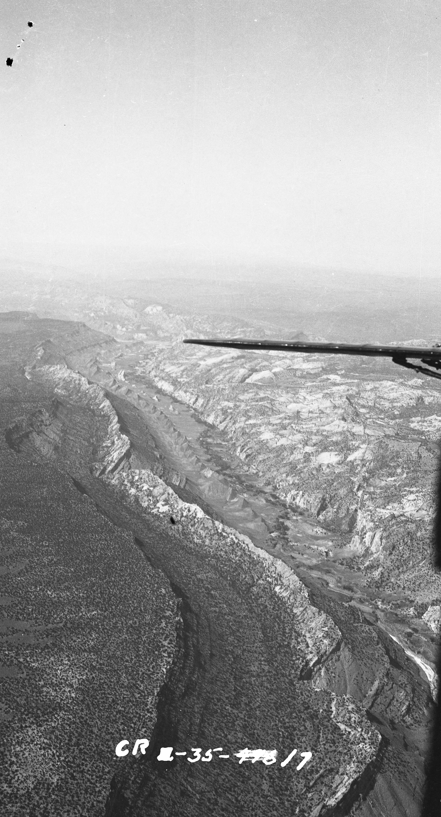
Ariel view of the Waterpocket Fold in 1935
Plane wing and long valley with ridge running down the middle.
Preston Patraw, Superintendent of Zion National Park, flew over the Waterpocket Fold to get a sense of the terrain.
Permission must be secured from the individual copyright owners to reproduce any copyrighted materials contained within this website. Digital assets without any copyright restrictions are public domain.
NPS/P. Patraw
Public domain:Full Granting Rights
Image
Capitol Reef National Park, Code: CARE
Capitol Reef National Park, Utah
Latitude: 38.1704216003418, Longitude: -111.14330291748
Latitude: 38.1704216003418, Longitude: -111.14330291748
04/16/2011
04/16/2011
Public Can View
Monday, December 21, 2020 11:23:54 AM
Monday, December 21, 2020 11:23:54 AM
CARE 0017 arial WPF 1935.jpg
Saturday, April 16, 2011 10:22:41 PM
jpg
2.3 MB
Scenic