Select Item below to DOWNLOAD - Once item is selected, right click and choose 'save as'
ad964465-aed3-4615-b9fb-192fb451181a
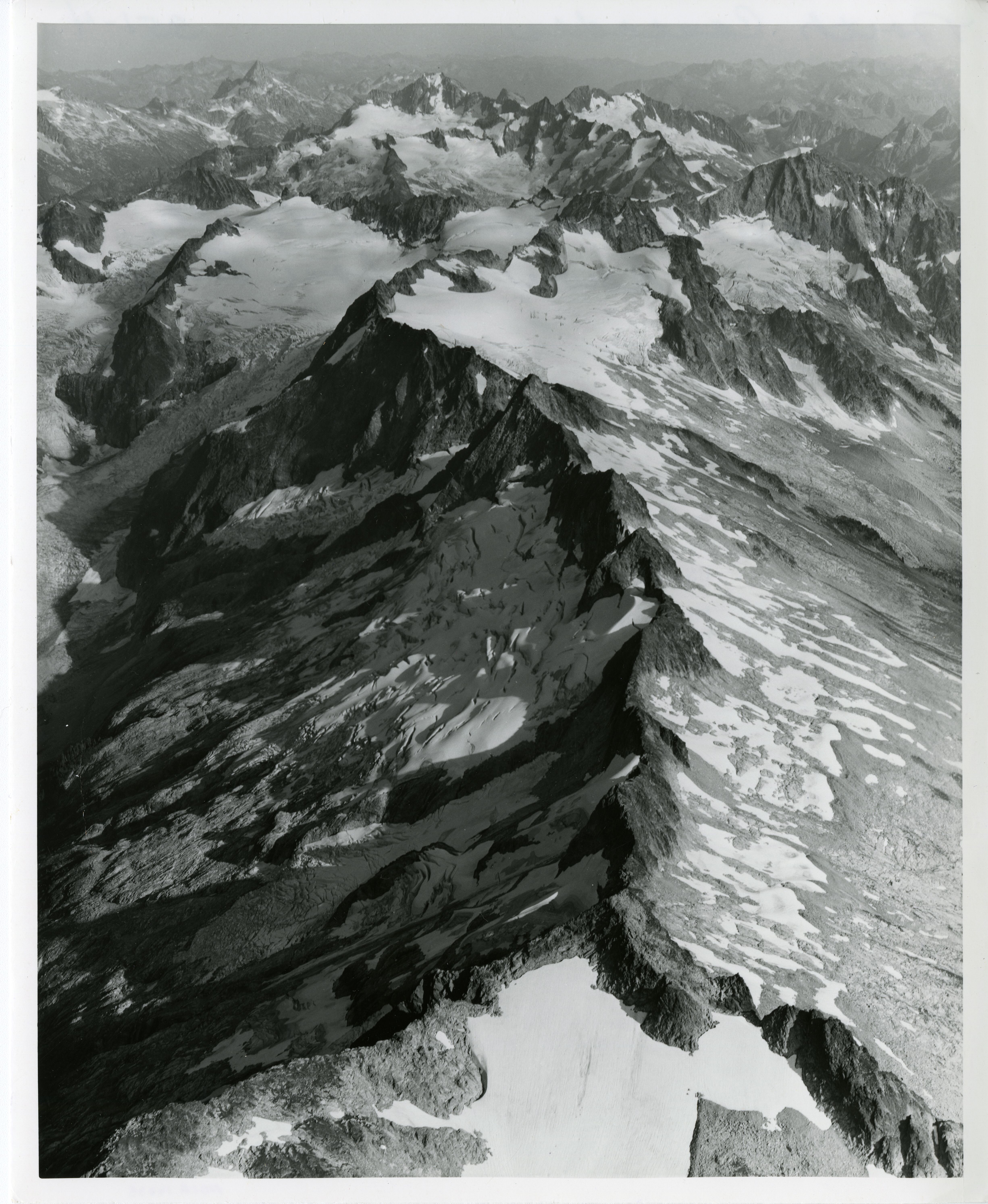
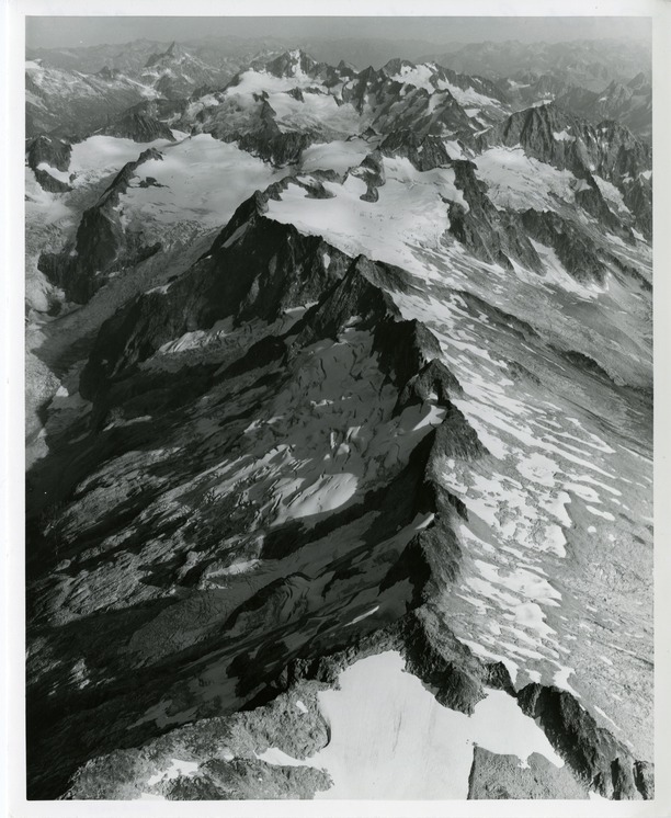
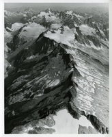
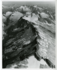
Teebone Ridge
Aerial view of the top of a mountain peak, covered in snow and glaciers. More peaks stretch to the horizon.
Aerial view of Teebone Ridge. Eldorado Peak is visible in upper right of image. Buckner Mountain, Forbidden Peak, and Boston Peak are visible in top center of image. (North Cascades NPS Complex Museum Collection, NOCA.0002 Assembled Collections, Series V: 1963 NPS North Cascades Survey Photographs, Subseries A: Prints and Negatives, File 155)
U.S. National Park Service
This digital asset is in the public domain. When using this asset for any purpose, including online, credit: 'Courtesy of North Cascades NPS Complex Museum Collection, 1963 NPS North Cascades Survey Collection.'
NPS Photo
Public domain
Image
North Cascades National Park, Code: NOCA
North Cascades National Park, Washington
Latitude: 48.8278884887695, Longitude: -121.35050201416
Eldorado Peak
Latitude: 48.8278884887695, Longitude: -121.35050201416
Eldorado Peak
ICMS Archives Module : NOCA.0002.05.01
2022/06/16
01/01/1963 - 12/30/1963
B/W photographic print
Marblemount Curation Facility
Public Can View
William Woodbridge
Person: NOCA Curator
Organization: North Cascades NPS Complex
Position: Museum Curator
Address: 7280 Ranger Station Road, Marblemount, WA 98267
Email: NOCA_Curator@nps.gov.
Organization: North Cascades NPS Complex
Position: Museum Curator
Address: 7280 Ranger Station Road, Marblemount, WA 98267
Email: NOCA_Curator@nps.gov.
Monday, June 9, 2025 5:01:09 PM
Monday, June 9, 2025 5:01:09 PM
0002.05.01.155.tif
tif
175.8 MB
Historic
,
Inventory