Select Item below to DOWNLOAD - Once item is selected, right click and choose 'save as'
aca95b90-0b88-4169-900d-10fbcf9cca2d
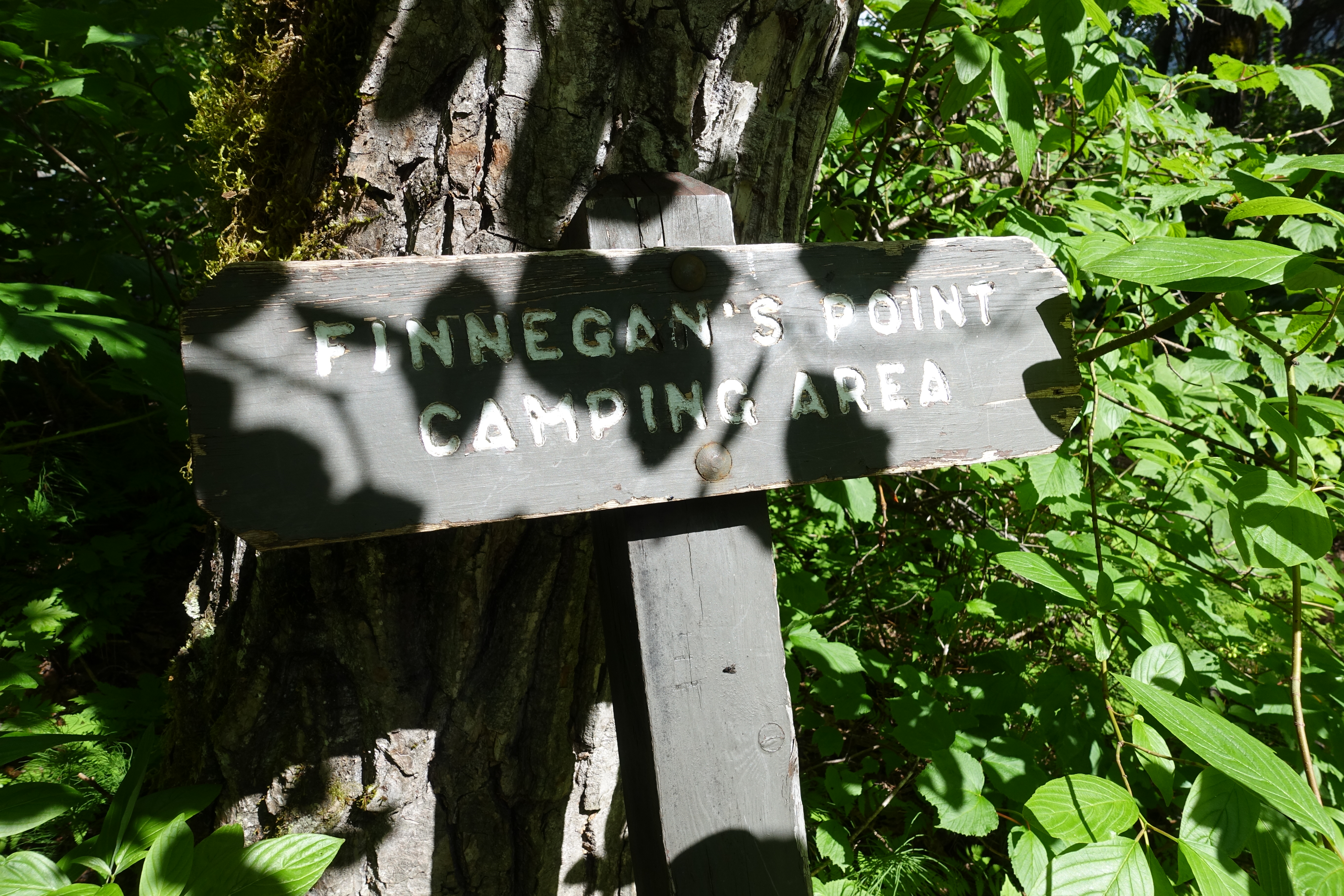
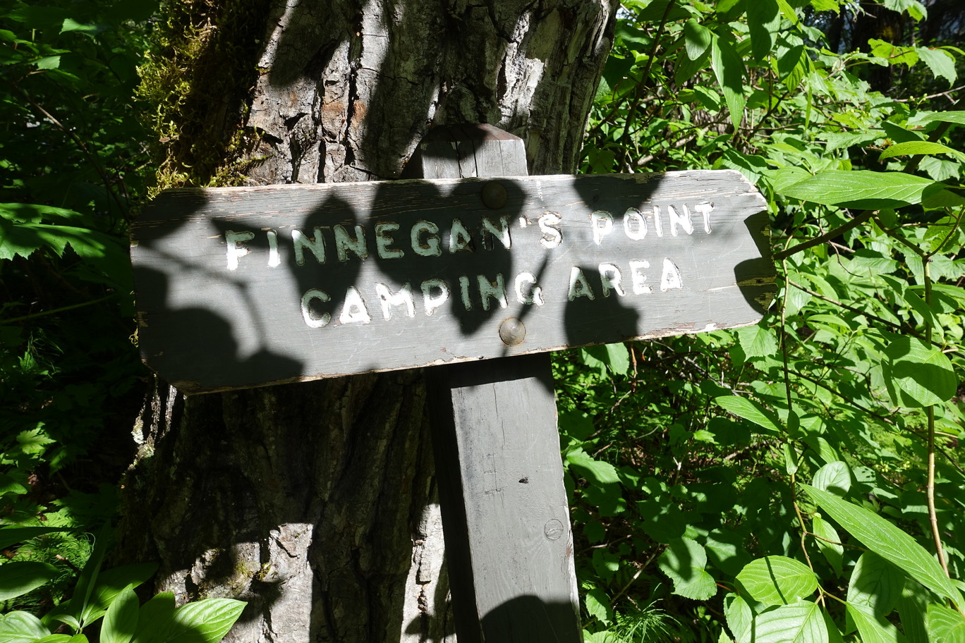
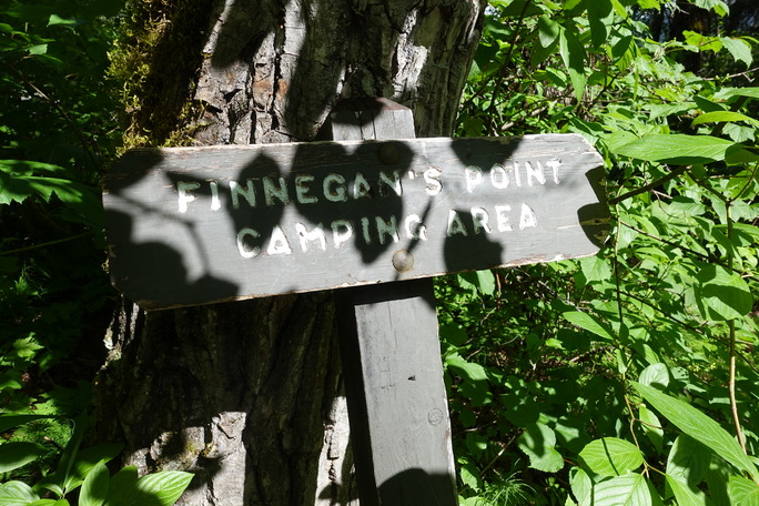
Finnegan's Point
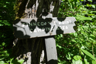
A painted wooden marker denotes the campgrounds at Finnegan's point. It leans against the trunk of a tree surrounded by verdant foliage.
Finnegan's Point, located about five miles north of the Dyea townsite, was the first campsite that served Stampeders and packers. By April 1898, Pat Finnegan constructed a toll road across the Taiya River at the head of the point of navigation.
Many hikers have used this as either an overnight camping area or a temporary warming spot. In the 1980s, the NPS relocated the camping area away from the richest archeological deposit sites to an adjacent area.
Permission must be secured from the individual copyright owners to reproduce any copyrighted materials contained within this website. Digital assets without any copyright restrictions are public domain.
NP Photo
Public domain:Full Granting Rights
Image
Klondike Gold Rush National Historical Park, Code: KLGO
Park Cultural Landscapes Program, Code: PCLP
Park Cultural Landscapes Program, Code: PCLP
Klondike Gold Rush National Historical Park, Skagway Municipality, Alaska
Latitude: 59.6315994262695, Longitude: -135.292999267578
Latitude: 59.6315994262695, Longitude: -135.292999267578
06/08/2017
06/08/2017
Public Can View
Wednesday, September 12, 2018 3:30:27 PM
Wednesday, September 12, 2018 3:30:27 PM
29748075112_5c030c1119_o.jpg
SONY SONY, DSC-RX100M4
1/250 sec at f / 5.6
8.8 mm
ISO 125
Thursday, June 8, 2017 6:31:30 PM
jpg
7.8 MB
Scenic