Select Item below to DOWNLOAD - Once item is selected, right click and choose 'save as'
a8198f38-a28d-4b49-a4fa-7193a9175331
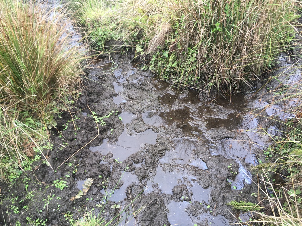
Tomales Point Water Sources: Southwest Section: SW09c - September 1, 2020
Standing water where two stretches of seeps meet.
A third photo of SW09, is a seep area 19 meters in length.
Permission must be secured from the individual copyright owners to reproduce any copyrighted materials contained within this website. Digital assets without any copyright restrictions are public domain.
NPS Photo
Public domain:Full Granting Rights
Image
Point Reyes National Seashore, Code: PORE
Tomales Point , Point Reyes National Seashore, Marin County, California
Latitude: 38.189046, Longitude: -122.953936
Latitude: 38.189046, Longitude: -122.953936
09/01/2020
09/01/2020
Public Can View
Thursday, September 10, 2020 1:58:46 PM
Thursday, September 10, 2020 1:58:46 PM
tomales_point_water_source_sw09c_200901.jpg
Apple Apple, iPhone SE (1st generation) 25, iPhone SE (1st generation) back camera 4.15mm f/2.2
1/120 sec at f / 2.2
4.15 mm
ISO 25
Tuesday, September 1, 2020 8:36:11 PM
jpg
5.5 MB
Scenic