Select Item below to DOWNLOAD - Once item is selected, right click and choose 'save as'
a3bb0a52-44b7-41ad-bfd7-fa99c0ee6f1e
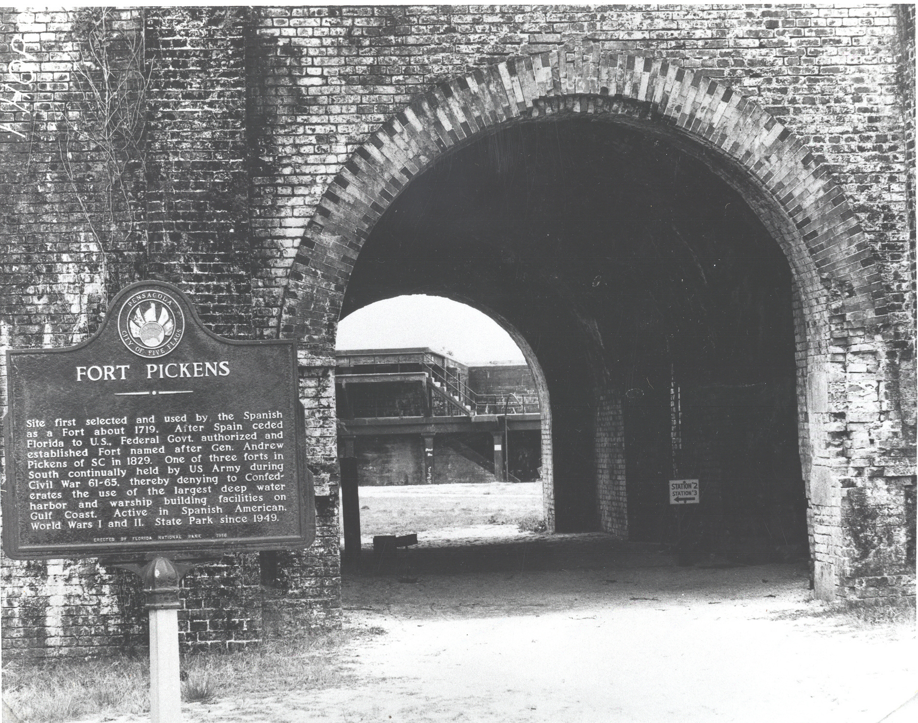
Historic image of sally port of Fort Pickens
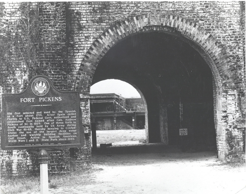
Historic image of sally port of Fort Pickens
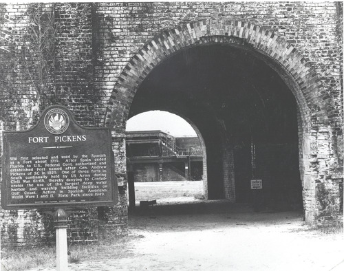
Historic image of sally port of Fort Pickens
Permission must be secured from the individual copyright owners to reproduce any copyrighted materials contained within this website. Digital assets without any copyright restrictions are public domain.
Public domain:Full Granting Rights
Image
Gulf Islands National Seashore, Code: GUIS
Gulf Islands National Seashore
Latitude: 30.3730602264404, Longitude: -86.9099731445313
Latitude: 30.3730602264404, Longitude: -86.9099731445313
01/01/0001
Public Can View
Monday, January 27, 2020 12:21:51 PM
Monday, January 27, 2020 12:21:51 PM
89 FPSP historic marker at entrnce.jpg
Monday, January 1, 0001 12:00:00 AM
jpg
2.3 MB
Scenic