Select Item below to DOWNLOAD - Once item is selected, right click and choose 'save as'
a24ba3e9-61e3-4ebe-be7e-d29b16a2d77b
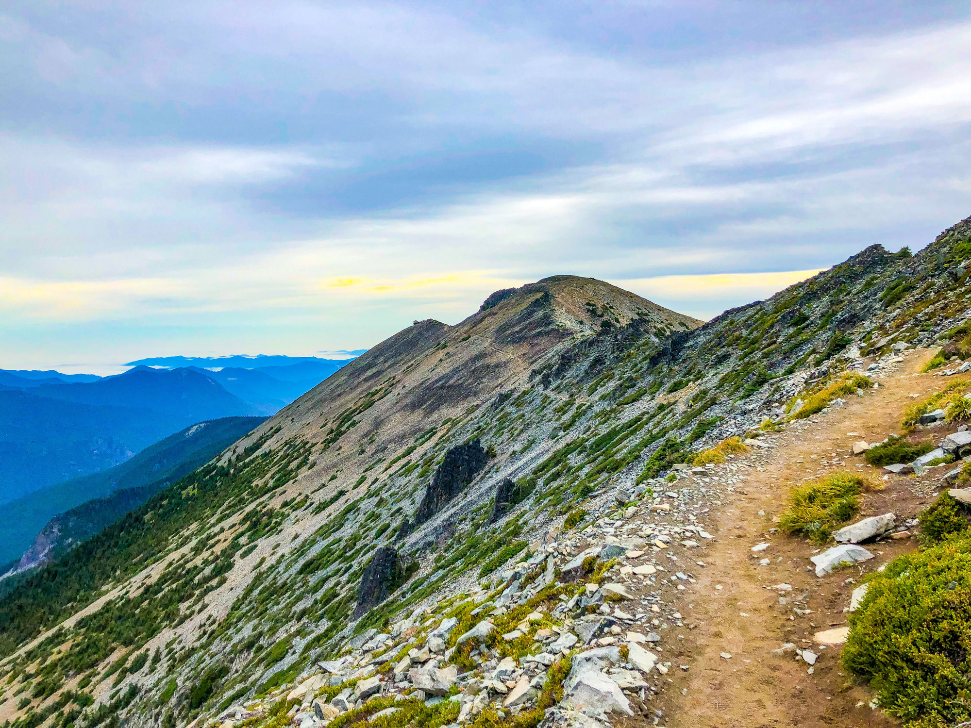
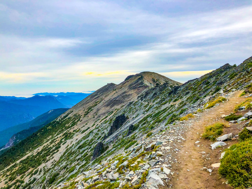
Fremont Firetower in the Distance
A dirt trail on the side of a ridge leads to a firetower.
The trail leading to Mount Freemont
Permission must be secured from the individual copyright owners to reproduce any copyrighted materials contained within this website. Digital assets without any copyright restrictions are public domain.
B. Burnett
Public domain:Full Granting Rights
Image
Mount Rainier National Park, Code: MORA
Mount Rainier National Park, Washington
Latitude: 46.865608215332, Longitude: -121.682601928711
Latitude: 46.865608215332, Longitude: -121.682601928711
09/07/2019
Public Can View
Friday, July 24, 2020 3:28:47 PM
Friday, July 24, 2020 3:28:47 PM
2E32896F-DB6D-43B1-B48E-28E369445901.JPEG
jpeg
4.8 MB
Scenic