Select Item below to DOWNLOAD - Once item is selected, right click and choose 'save as'
a1bcc74d-e79a-4cef-8678-2e4d47f56e61
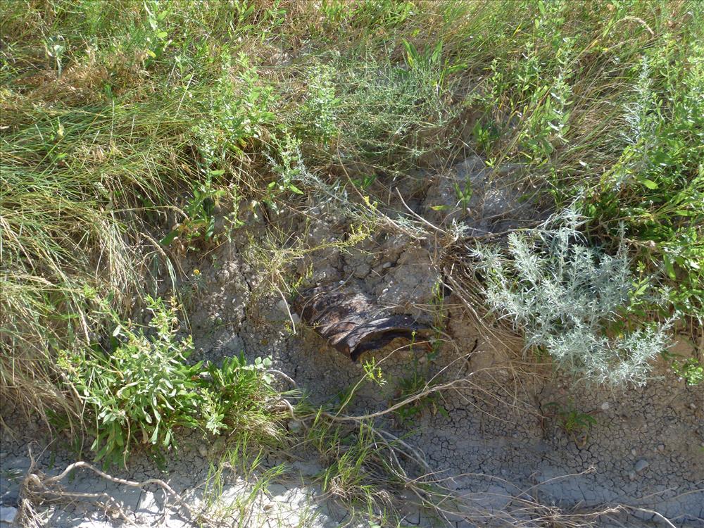
BADL-Conata-Road-Culverts-Drainage-Ditches
Condition of culverts and darainage ditches.
U.S. National Park Service
Permission must be secured from the individual copyright owners to reproduce any copyrighted materials contained within this website. Digital assets without any copyright restrictions are public domain.
Public domain
Image
Badlands National Park, Code: BADL
Badlands National Park, South Dakota
Latitude: 43.8339996337891, Longitude: -102.393898010254
Latitude: 43.8339996337891, Longitude: -102.393898010254
07/15/2010
07/15/2010
Born Digital
Public Can View
Tuesday, January 8, 2013 10:44:36 AM
Thursday, August 10, 2017 4:37:45 AM
BADL-c1a5ab82e4d148c2a831bd2f2a31a1f3.jpg
Panasonic Panasonic, DMC-FP3
10/1600 sec at f / 4.5
6.3 mm
ISO 80
Thursday, July 15, 2010 4:32:45 PM
jpg
5.2 MB
Inventory
BADL-Conata-Road-Culverts-Drainage-Ditches
BADL-Conata-Road-Culverts-Drainage-Ditches
BADL-Conata-Road-Culverts-Drainage-Ditches
BADL-Conata-Road-Culverts-Drainage-Ditches
BADL-Conata-Road-Culverts-Drainage-Ditches
BADL-Conata-Road-Culverts-Drainage-Ditches
BADL-Conata-Road-Culverts-Drainage-Ditches