Select Item below to DOWNLOAD - Once item is selected, right click and choose 'save as'
a0d38f87-760b-4046-8cd0-34ddc724db77
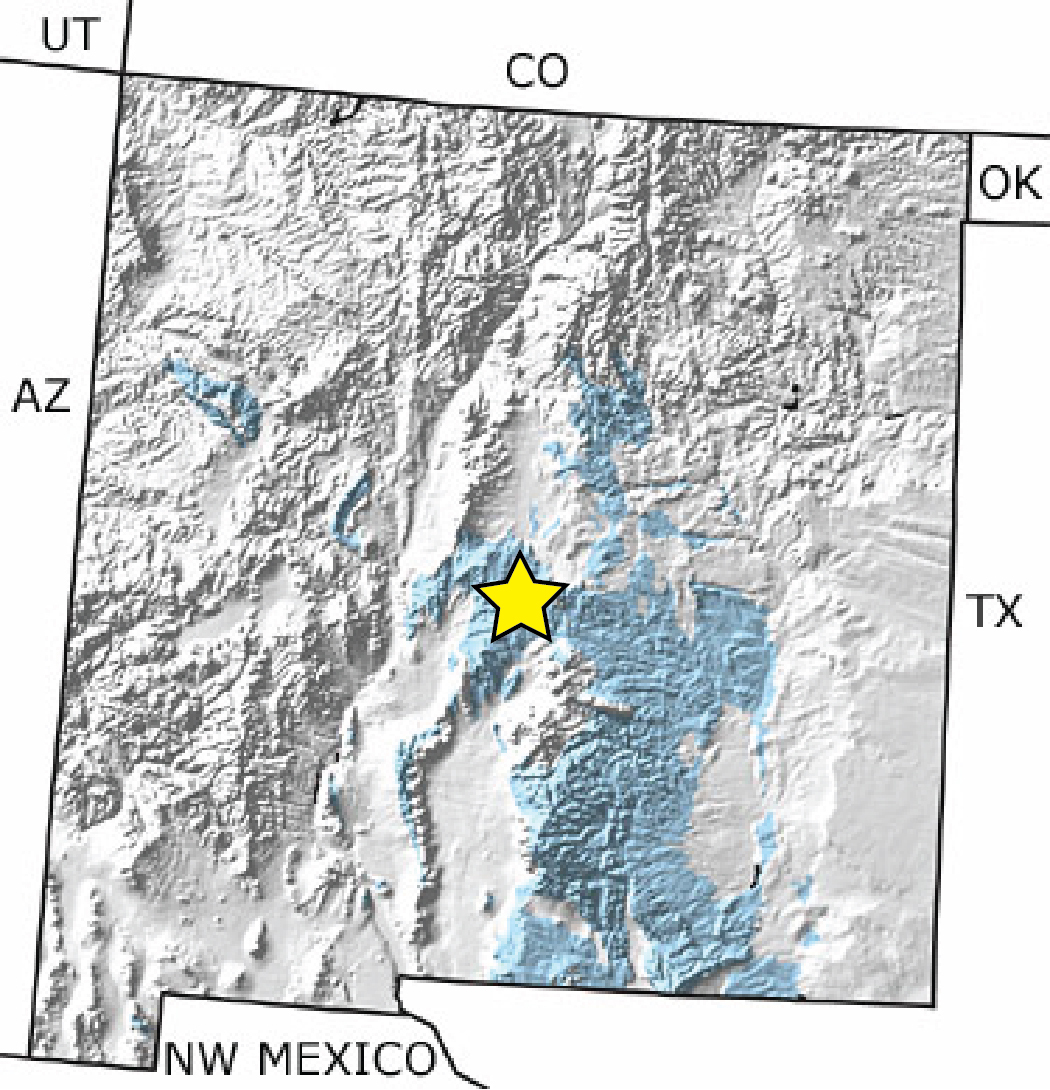
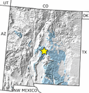
Map of Permian Rocks in New Mexico
Map of Permian rocks in New Mexico. Permian rocks are primarily located in the southeastern portion of the state.
Map of Permian rocks in New Mexico.
The bedrock in the monument (star) consists of Permian sedimentary rocks, which form colorful “red beds” in the central and southern parts of the state. Blue on the graphic delineates exposures of these rocks and represents the official color used on USGS maps for the Permian Period.
Permission must be secured from the individual copyright owners to reproduce any copyrighted materials contained within this website. Digital assets without any copyright restrictions are public domain.
From the Paleontology Portal at http://
paleoportal.org/index.php?globalnav=time_
space§ionnav=state&state_id=36&period_id=11
Public domain:Full Granting Rights
Image
Salinas Pueblo Missions National Monument, Code: SAPU
Salinas Pueblo Missions National Monument, New Mexico
Latitude: 34.2599182128906, Longitude: -106.092796325684
Latitude: 34.2599182128906, Longitude: -106.092796325684
01/01/0001
Public Can View
Friday, August 6, 2021 3:50:44 PM
Friday, August 6, 2021 4:24:50 PM
Figure 08_SAPU_Permian_Rocks-01.jpg
Monday, January 1, 0001 12:00:00 AM
jpg
818.3 kB
Scenic