Select Item below to DOWNLOAD - Once item is selected, right click and choose 'save as'
9beb9eae-d963-4665-9012-71ff88432541
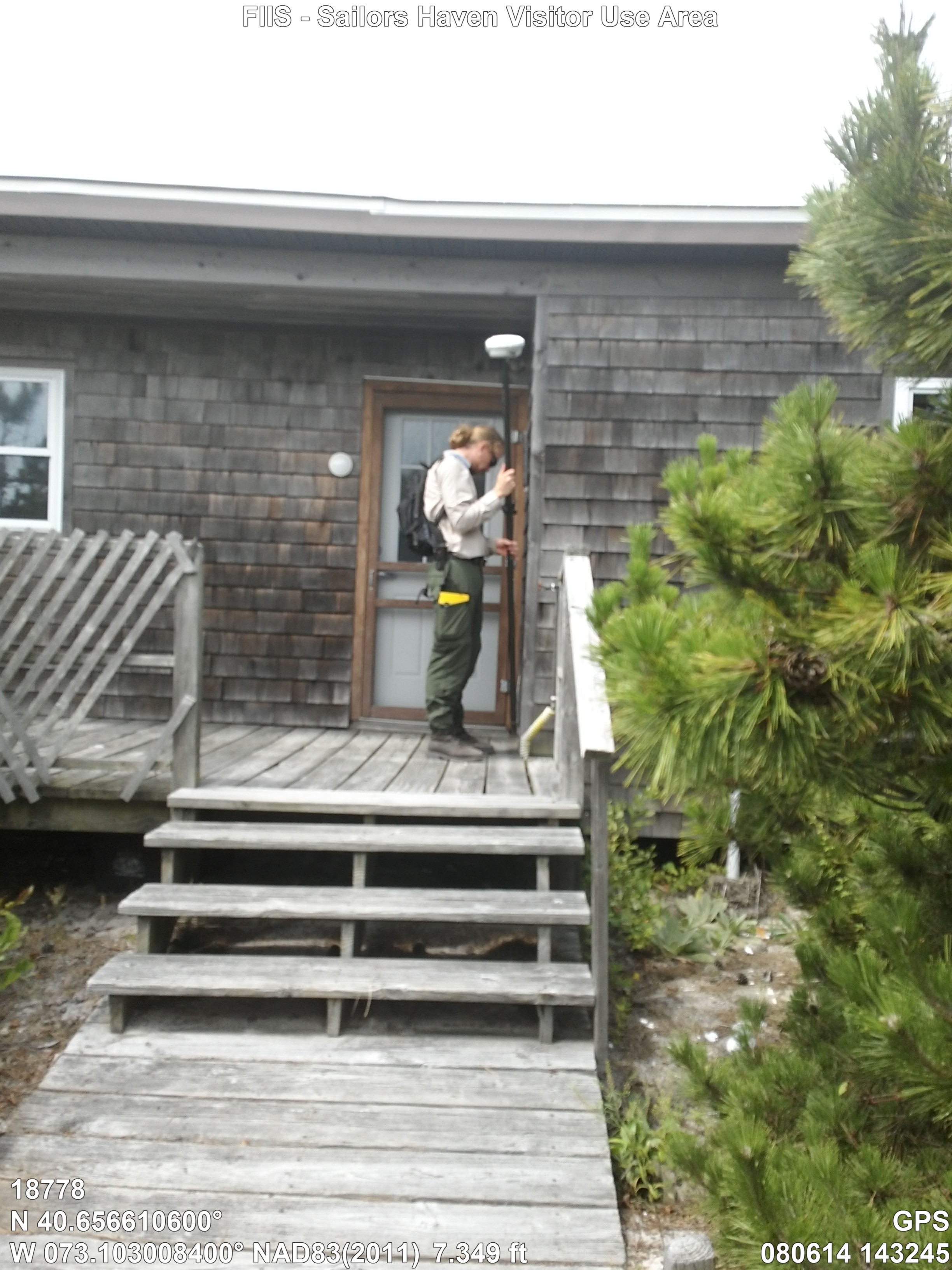
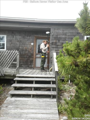
FIIS - Sailors Haven Visitor Use Area
Q-00000104-HO-SH-102 Qtrs#102
Image with visible watermark of coordinates, elevations date, time and park code.
18778
4100
Permission must be secured from the individual copyright owners to reproduce any copyrighted materials contained within this website. Digital assets without any copyright restrictions are public domain.
Public domain
FMSS, (NPS Focus Subject Thesaurus)
, Asset Inventory, (NPS Focus Subject Thesaurus)
, Buildings, (NPS Focus Subject Thesaurus)
, Elevations, (NPS Focus Subject Thesaurus)
, Asset Inventory, (NPS Focus Subject Thesaurus)
, Buildings, (NPS Focus Subject Thesaurus)
, Elevations, (NPS Focus Subject Thesaurus)
Image
Fire Island National Seashore, Code: FIIS
New York, Sailors Haven, FIIS
Latitude: 40.6566106, Longitude: -73.1030084, Elevation: 0
Latitude: 40.6566106, Longitude: -73.1030084, Elevation: 0
FMSS (LOCATION NUMBER) ID : 18778
08/06/2014
08/06/2014
Public Can View
GPS
Organization: FMGIS
Email: Brian_Diethorn@partner.nps.gov
Email: Brian_Diethorn@partner.nps.gov
Tuesday, March 10, 2015 1:26:03 PM
Thursday, August 10, 2017 3:46:28 AM
18778_080614_143245_tag.jpg
Garmin Garmin, Monterra
3381/1000000 sec at f / 2.8
4.6 mm
ISO 60
Wednesday, August 6, 2014 8:32:45 PM
jpg
3.1 MB
Inventory