Select Item below to DOWNLOAD - Once item is selected, right click and choose 'save as'
99ECFAFC-1DD8-B71B-0B6933C76FD1B5BB
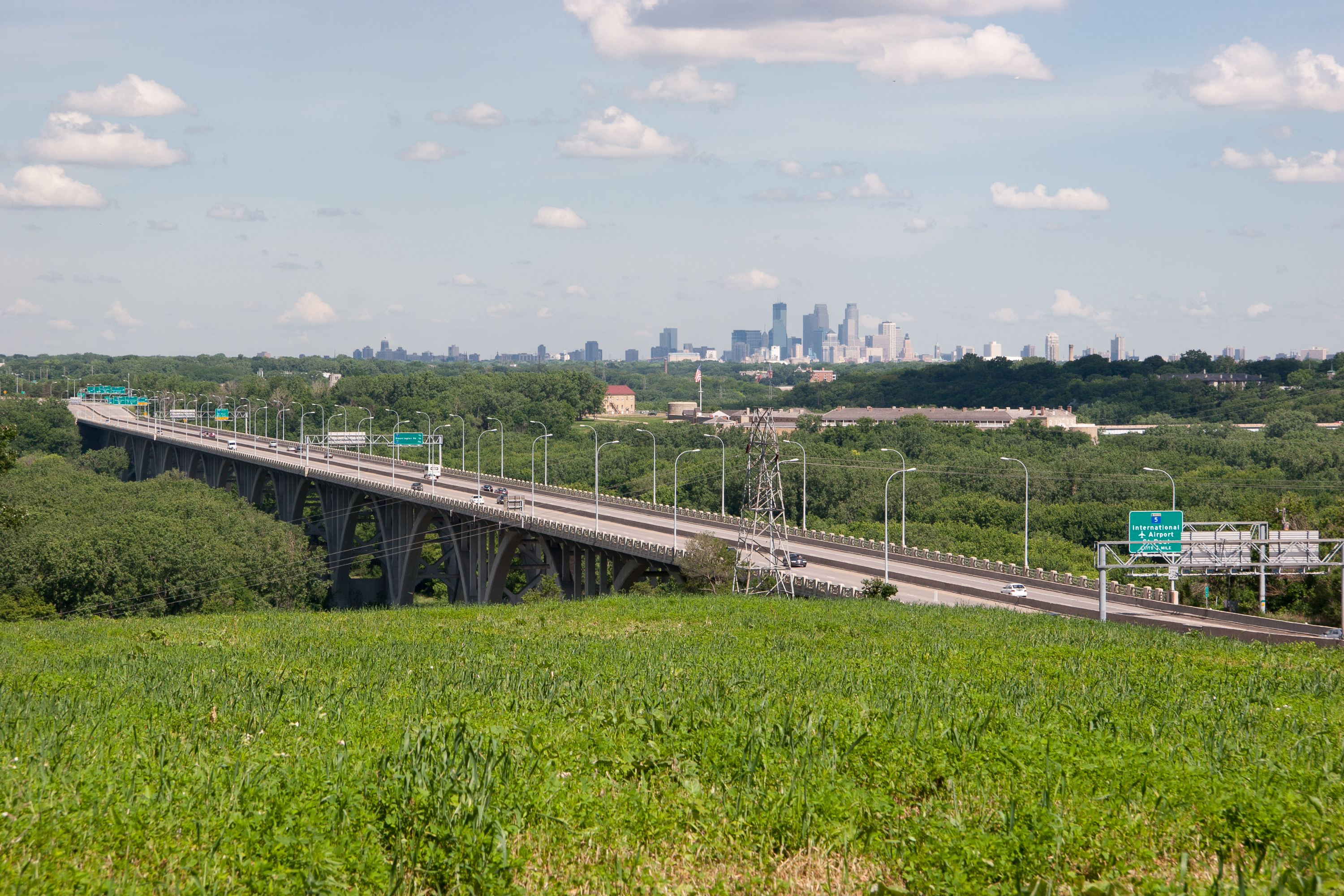
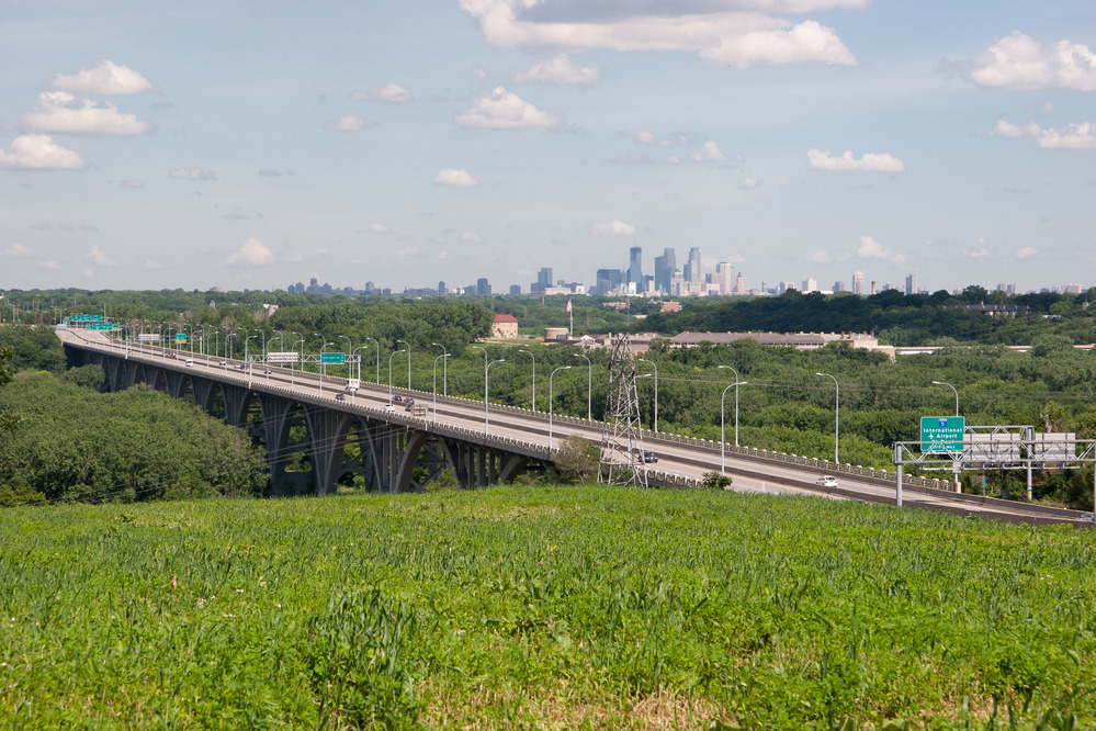
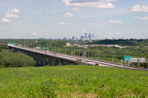
Highway 55 Bridge
A bridge in the foreground over the river, and also showing the Minneapolis skyline in the background.
In the foreground is the Highway 55 Bridge while in the background, the Minneapolis skyline can be seen.
U.S. National Park Service
Permission must be secured from the individual copyright owners to reproduce any copyrighted materials contained within this website. Digital assets without any copyright restrictions are public domain.
NPS/Gordon Dietzman
Public domain:Full Granting Rights
Image
Mississippi National River and Recreation Area, Code: MISS
Mississippi National River and Recreation Area, Minnesota
Latitude: 44.9146118164063, Longitude: -93.1276016235352
Latitude: 44.9146118164063, Longitude: -93.1276016235352
Public Can View
Tuesday, January 26, 2021 8:28:43 AM
Tuesday, January 26, 2021 8:28:43 AM
9A3E68C4-1DD8-B71B-0B69C926FD9ECCBB.jpg
Canon Canon, Canon EOS 20D 100, 17.0-85.0 mm
1/250 sec at f / 10
61 mm
ISO 100
Tuesday, June 24, 2008 6:49:24 AM
jpg
3.1 MB
Scenic