Select Item below to DOWNLOAD - Once item is selected, right click and choose 'save as'
93f87e5b-0f9e-408a-aeca-3133b0f90b52
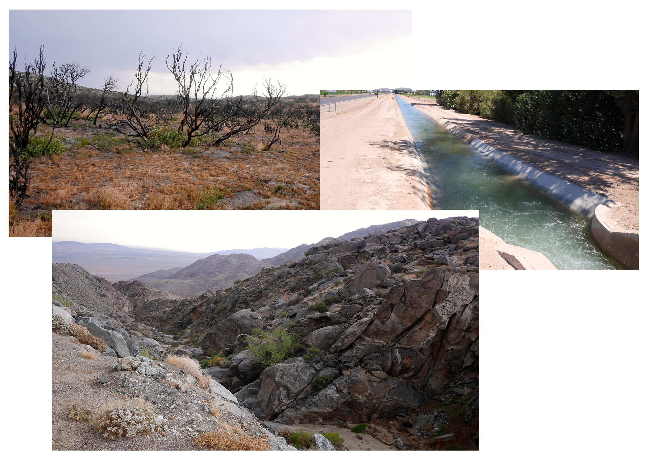
Frank Collage 1 Ocotillo Photo Essay 2014
Three photos showing a charred desert landscape, a canal full of water, and a valley between two rocky low mountains
Frank Collage 1 Ocotillo Photo Essay 2014
Permission must be secured from the individual copyright owners to reproduce any copyrighted materials contained within this website. Digital assets without any copyright restrictions are public domain.
NPS/Tony Gleaton
Public domain:Full Granting Rights
Image
Juan Bautista de Anza National Historic Trail, Code: JUBA
Juan Bautista de Anza National Historic Trail
Latitude: 31.3392162322998, Longitude: -110.94580078125
Latitude: 31.3392162322998, Longitude: -110.94580078125
01/01/0001
Public Can View
Monday, December 16, 2024 6:50:42 PM
Monday, December 16, 2024 6:56:39 PM
Frank Collage 1.jpg
Monday, January 1, 0001 12:00:00 AM
jpg
944.1 kB
Scenic