Select Item below to DOWNLOAD - Once item is selected, right click and choose 'save as'
90d139fb-db3b-4934-ade6-b1dab29e41eb
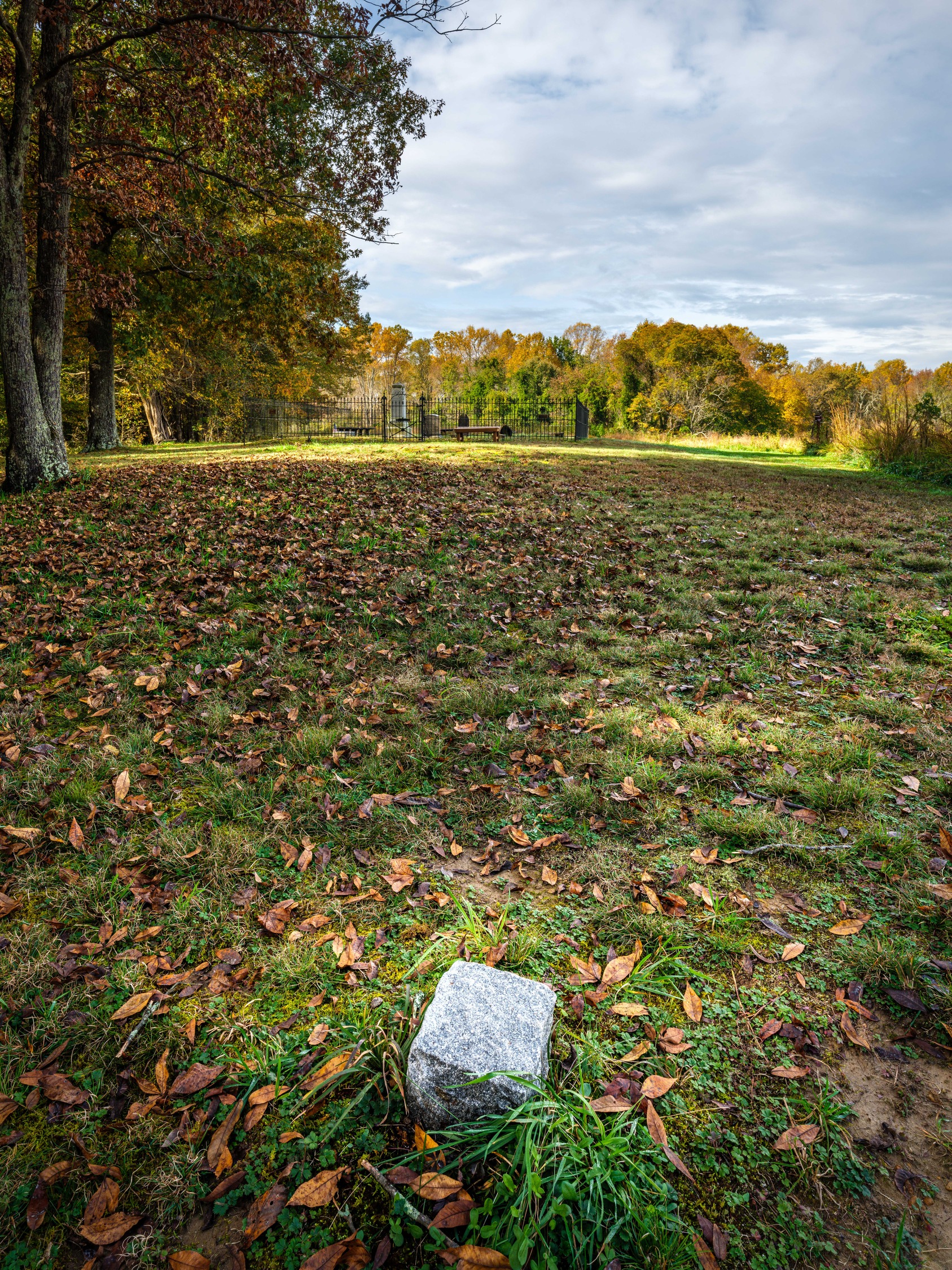
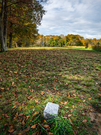
Boundary marker
Boundary marker of unknown burials
Boundary marker of unknown burials
© 2020, National Park Service
Stephen Girimont
Restrictions apply on use and/or reproduction (Copyrighted material):Full Granting Rights
Image
Thomas Stone National Historic Site, Code: THST
Thomas Stone National Historic Site, Charles County, Maryland
Latitude: 38.5293006896973, Longitude: -77.0378036499023
Latitude: 38.5293006896973, Longitude: -77.0378036499023
10/24/2020
10/24/2020
Public Can View
Stephen Girimont
Wednesday, December 23, 2020 12:28:04 PM
Wednesday, December 23, 2020 12:28:04 PM
TS Marker Stone.jpg
FUJIFILM FUJIFILM, GFX 100 100, GF23mmF4 R LM WR
1/40 sec at f / 16
23 mm
ISO 100
Saturday, October 24, 2020 5:22:39 PM
jpg
9.1 MB
Scenic