Select Item below to DOWNLOAD - Once item is selected, right click and choose 'save as'
7f79fd66-e644-475f-a6d0-2390bc392607
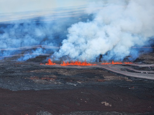
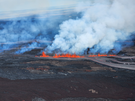
Aerial View of the 2022 Eruption of Mauna Loa (USGS Photo)
Channelized rivers of lava flows downslope from tall fountains of lava.
Large fountains of lava erupt from a fissure along the flanks of Mauna Loa. Lava flows down slope. This is within a closed area of the park.
Permission must be secured from the individual copyright owners to reproduce any copyrighted materials contained within this website. Digital assets without any copyright restrictions are public domain.
USGS Photo/K.Lynn
Public domain:Full Granting Rights
Image
Hawaii Volcanoes National Park, Code: HAVO
Hawaii Volcanoes National Park, Hawaii County, Hawaii
Latitude: 19.3775997161865, Longitude: -155.602996826172
Latitude: 19.3775997161865, Longitude: -155.602996826172
11/28/2022
11/28/2022
Public Can View
Tuesday, November 29, 2022 10:04:36 PM
Wednesday, November 30, 2022 12:38:45 AM
USGS_20221129_Fissure-channel_K.Lynn.jpg
samsung samsung, SM-S901U
1/629 sec at f / 2.4
7 mm
ISO 25
Monday, November 28, 2022 9:21:16 AM
jpg
3.4 MB
Scenic