Select Item below to DOWNLOAD - Once item is selected, right click and choose 'save as'
7bbdf372-3e46-4ce0-9d3b-860576e9acec
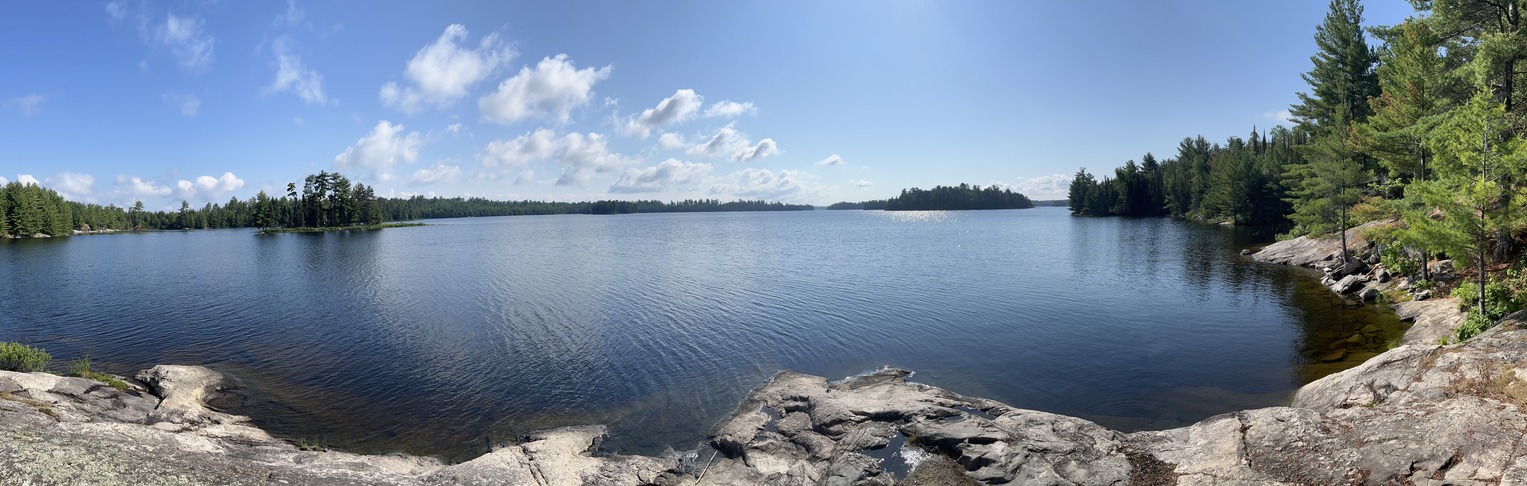
Gable Point Shore Out
Gable Point Shore Out
Voyageurs Houseboat
U. S. National Park Service
This digital asset is in the public domain. When using this asset for any purpose, including online, credit: 'Courtesy U.S. National Parks'
Public domain
N53, (Voyageurs Map Number)
, Gable Point, (Voyageurs Site Name)
, Houseboat, (Voyageurs Site Type)
, Namakan Lake, (Voyageurs Location)
, Rock, (Voyageurs Mooring)
, Gable Point, (Voyageurs Site Name)
, Houseboat, (Voyageurs Site Type)
, Namakan Lake, (Voyageurs Location)
, Rock, (Voyageurs Mooring)
Image
Voyageurs National Park, Code: VOYA
Namakan Lake
GABLE POINT
Latitude: 48.444, Longitude: -92.796
Voyageurs National Park, Minnesota
Latitude: 48.48828125, Longitude: -92.8048095703125
GABLE POINT
Latitude: 48.444, Longitude: -92.796
Voyageurs National Park, Minnesota
Latitude: 48.48828125, Longitude: -92.8048095703125
2022/08/18
Public Can View
Person: Program Manager
Organization: US National Park Service
Address: Voyageurs National Park Headquarters, 360 Hwy 11 East, International Falls , MN 56649
Organization: US National Park Service
Address: Voyageurs National Park Headquarters, 360 Hwy 11 East, International Falls , MN 56649
Monday, June 10, 2024 9:24:06 PM
Monday, June 10, 2024 9:24:06 PM
Panorama 2023.JPG
jpg
197.5 MB
Inventory