Select Item below to DOWNLOAD - Once item is selected, right click and choose 'save as'
70d1e6b5-b859-4b22-bca2-9bf17a35332e
Historic Structures Reports: Looking Ahead (1)
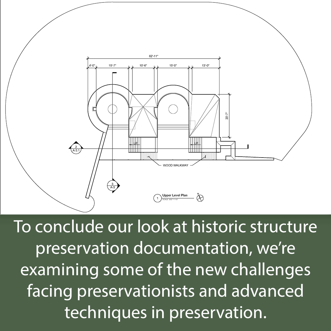
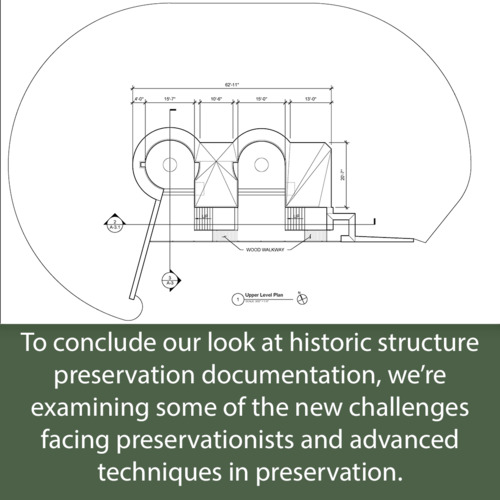
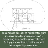
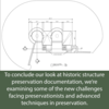
Caption: To conclude our look at historic structure preservation documentation, we’re examining some of the new challenges facing preservationists and advanced techniques in preservation. Image: Schematic drawing of the upper level plan from the historic structure report for the Forks of the Road Bridge.
"To conclude our look at historic structure preservation documentation, we’re examining some of the new challenges facing preservationists and advanced techniques in preservation." The image is a schematic drawing of the upper level plan from the historic structure report for the Forks of the Road Bridge.
These images were prepared as part of a series focusing on cultural landscape reports and historic structure reports, highlighting examples and illustrating how the reports relate to preservation history in the National Park System.
Permission must be secured from the individual copyright owners to reproduce any copyrighted materials contained within this website. Digital assets without any copyright restrictions are public domain.
NPS
Public domain
Image
Natchez National Historical Park, Code: NATC
Park Historic Structures and Cultural Landscapes Division, Code: HSCL
Park Historic Structures and Cultural Landscapes Division, Code: HSCL
Natchez National Historical Park, Adams County, Mississippi
Latitude: 31.5429992675781, Longitude: -91.3824005126953
Latitude: 31.5429992675781, Longitude: -91.3824005126953
12/08/2021
Public Can View
Person: Lia Nigro
Organization: Park Cultural Landscapes Program
Email: lia_nigro@partner.nps.gov
Organization: Park Cultural Landscapes Program
Email: lia_nigro@partner.nps.gov
Thursday, December 9, 2021 2:40:34 PM
Thursday, December 9, 2021 3:09:21 PM
_01.png
png
110.8 kB
Scenic