Select Item below to DOWNLOAD - Once item is selected, right click and choose 'save as'
6d258235-4a5a-4d0b-8dbb-05941200bb25
Map
This image was captured during the WASO funded Digital Imaging Project aimed at increasing access to NPS collections through digital photography. http://www.nps.gov/hfc/products/cons/museum-mgmt.htm
U.S. National Park Service
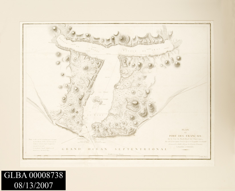
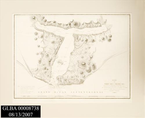
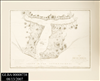
18'th century engraved map of GLBA region titled, "Plan de Port des Francais," by La Perouse, Jean-Francois de Galaup, comte de, 1741-1788. Based on a 1786 trip to region.
Permission must be secured from the individual copyright owners to reproduce any copyrighted materials contained within this website. Digital assets without any copyright restrictions are public domain.
Public domain:For further image information contact:For more information contact:Glacier Bay National Park
PO Box 140
Gustavus, AK 99826-0140 Tel. (907) 697-2230.
Image
Glacier Bay National Park and Preserve, Code: GLBA
Gustavus ; Glacier Bay National Park, Glacier Bay National Park and Preserve, Hoonah-Angoon Census Area, Alaska
Latitude: 58.717399597168, Longitude: -136.576995849609
Latitude: 58.717399597168, Longitude: -136.576995849609
08/13/2007
08/13/2007
Public Can View
Thursday, January 20, 2011 10:49:01 AM
Wednesday, August 9, 2017 10:58:45 PM
GLBA00008738.jpg
NIKON CORPORATION NIKON CORPORATION, NIKON D200
1/125 sec at f / 18
30 mm
ISO 100
Tuesday, August 14, 2007 1:25:15 AM
jpg
151.1 kB
Museum
,
Map