Select Item below to DOWNLOAD - Once item is selected, right click and choose 'save as'
6391fe7e-0205-4a7e-ac11-251dae5779ff
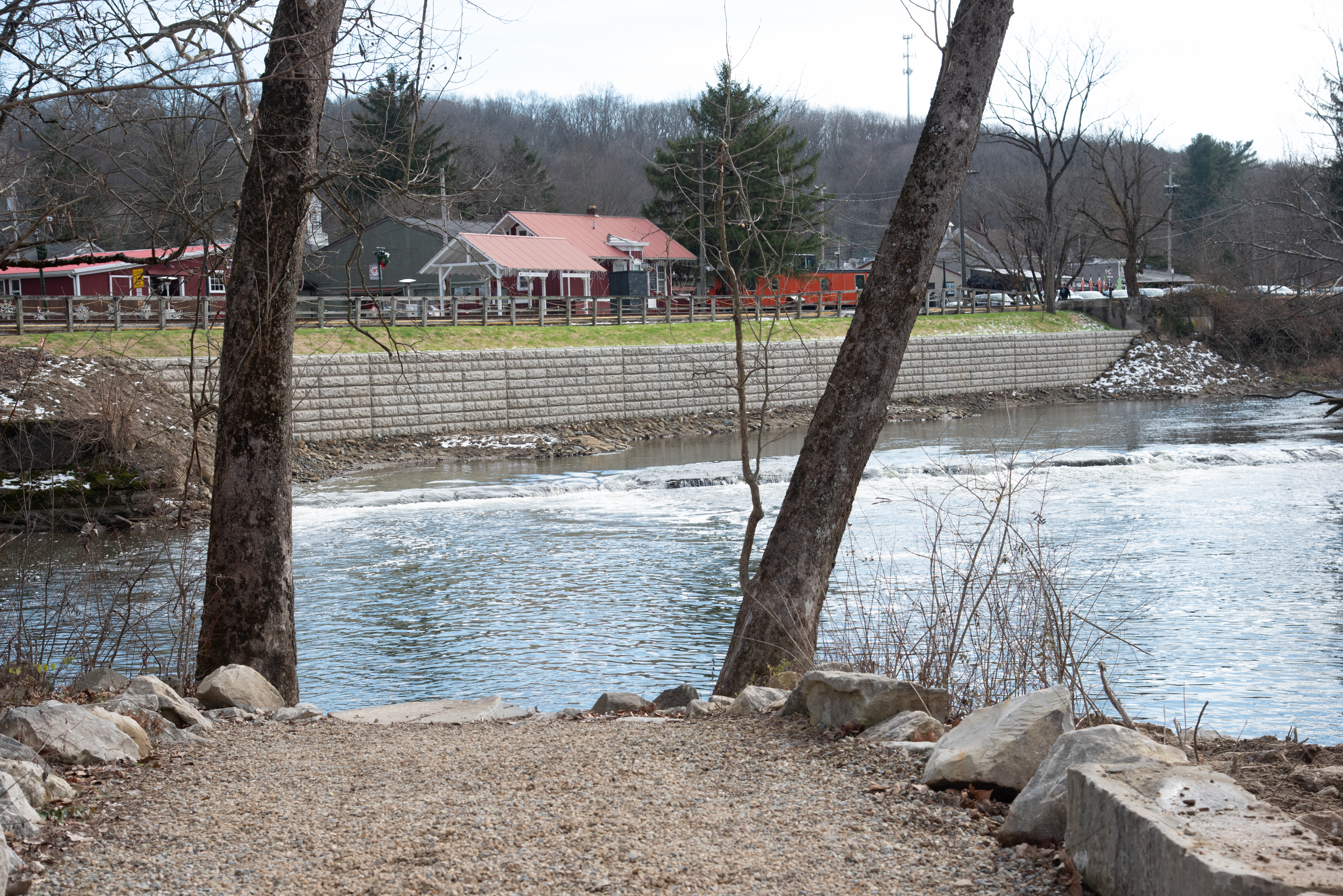
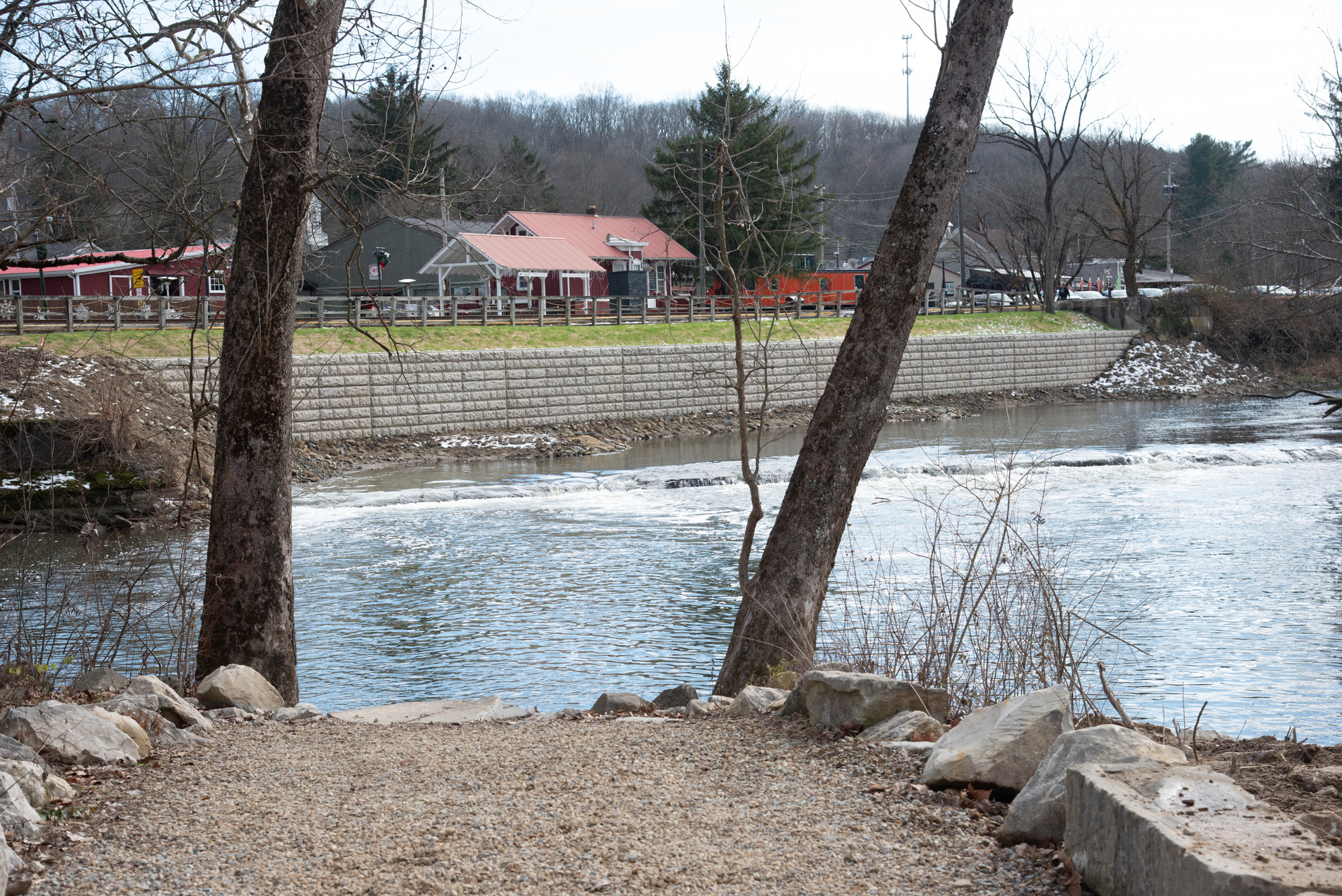
The trail to the Lock 29 river access
A gravel path approaches a body of water; on the far side, a concrete wall lines the riverbank below several buildings.
The view from the Lock 29 river access, after riverbank stabilization work was completed in fall 2024.
Permission must be secured from the individual copyright owners to reproduce any copyrighted materials contained within this website. Digital assets without any copyright restrictions are public domain.
NPS / Tim Fenner
Public domain:Full Granting Rights
Image
Cuyahoga Valley National Park, Code: CUVA
Cuyahoga Valley National Park, Ohio
Latitude: 41.1502799987793, Longitude: -81.5678787231445
Latitude: 41.1502799987793, Longitude: -81.5678787231445
12/08/2024
12/08/2024
Public Can View
Monday, December 16, 2024 6:17:06 PM
Monday, December 16, 2024 6:26:01 PM
20241208 CRWT-L29 riverbank wall completed 2 NPS Tim Fenner.jpg
NIKON CORPORATION NIKON CORPORATION, NIKON D750 400, 24.0-120.0 mm f/4.0
1/500 sec at f / 6.3
58 mm
ISO 400
Sunday, December 8, 2024 1:59:03 PM
jpg
7.0 MB
Scenic