Select Item below to DOWNLOAD - Once item is selected, right click and choose 'save as'
6308f531-79e1-488a-8418-06bb2eded5d5
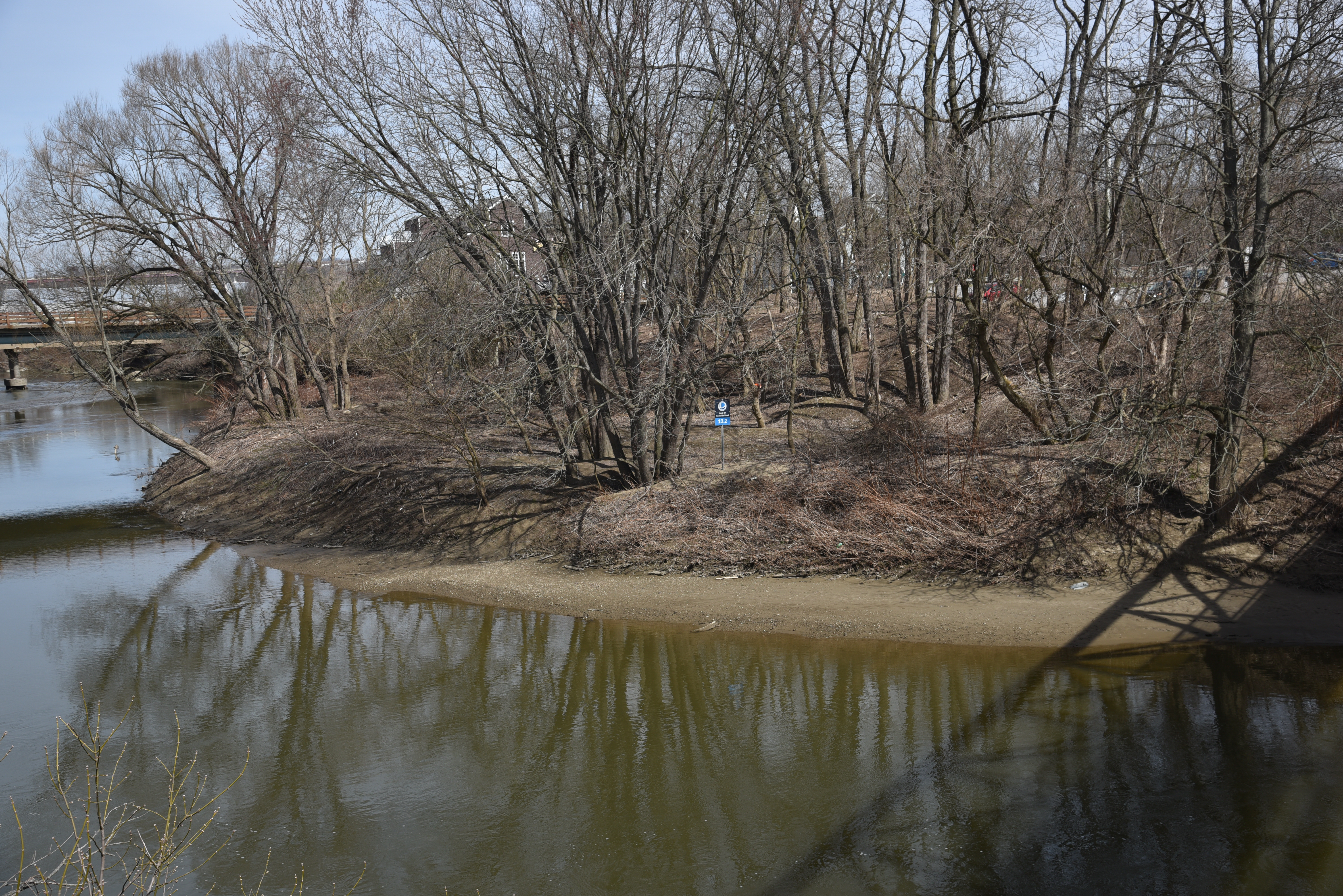
View of Lock 39 River Access Point
View of the Cuyahoga River looking downstream. The Lock 39 river access point can be seen, with a Cuyahoga River Water Trail sign seen at the top of the ridge. The shadow of Rockside Station Pedestrian Bridge, which the photo is taken from, can be seen on the river in the lower right corner.
View of the Cuyahoga at the Lock 39 River Access, taken from the pedestrian bridge to Rockside Station.
Permission must be secured from the individual copyright owners to reproduce any copyrighted materials contained within this website. Digital assets without any copyright restrictions are public domain.
NPS / Tim Fenner
Public domain:Full Granting Rights
Image
Cuyahoga Valley National Park, Code: CUVA
Cuyahoga Valley National Park, Ohio
Latitude: 41.1502799987793, Longitude: -81.5678787231445
Latitude: 41.1502799987793, Longitude: -81.5678787231445
03/16/2020
03/16/2020
Public Can View
Friday, July 31, 2020 1:38:07 PM
Friday, July 31, 2020 1:38:07 PM
20200316 CRWT-L39 access-1 NPS Tim Fenner.jpg
NIKON CORPORATION NIKON CORPORATION, NIKON D750 100, 24.0-120.0 mm f/4.0
1/320 sec at f / 6.3
38 mm
ISO 100
Monday, March 16, 2020 7:10:11 PM
jpg
11.0 MB
Scenic