Select Item below to DOWNLOAD - Once item is selected, right click and choose 'save as'
5E026685-FD9F-2496-B4AB52170DD6A4F0
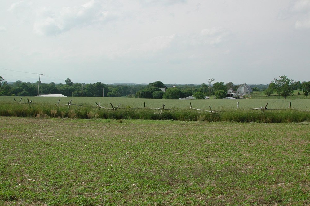
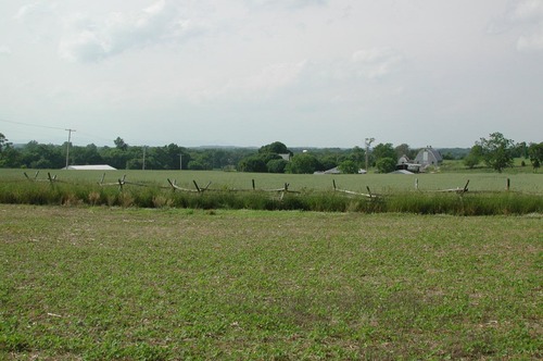
Farmstead View
A wooden fence divides the image, with low vegetation in the foreground and tall grass beyond.
A view towards the buildings on the Miller Farmstead from Cornfield Avenue show the high integrity of the landscape. The property and adjacent lands remain agrarian in nature and unobstructed by modern intrusions. It essentially appears much as it did when Union and Confederate troops clashed here in September of 1862, the event from which the landscape derives its primary historic significance.
U.S. National Park Service
Permission must be secured from the individual copyright owners to reproduce any copyrighted materials contained within this website. Digital assets without any copyright restrictions are public domain.
NPS Photo, Jeff Everett
Public domain:Full Granting Rights
Image
Antietam National Battlefield, Code: ANTI
Latitude: 39.48434, Longitude: -77.74939
Antietam National Battlefield, Washington County, Maryland
Latitude: 39.470100402832, Longitude: -77.7380981445313
Antietam National Battlefield, Washington County, Maryland
Latitude: 39.470100402832, Longitude: -77.7380981445313
Public Can View
Wednesday, September 12, 2018 1:08:21 PM
Wednesday, September 12, 2018 1:08:21 PM
5E04D9AD-E330-B696-466ED3ECCF92509B.JPG
NIKON NIKON, E990
10/2698 sec at f / 7.7
10.7 mm
ISO 100
Friday, May 28, 2004 10:47:07 PM
jpg
199.6 kB
Scenic