Select Item below to DOWNLOAD - Once item is selected, right click and choose 'save as'
5313269b-c091-4feb-8799-2adb77c65736
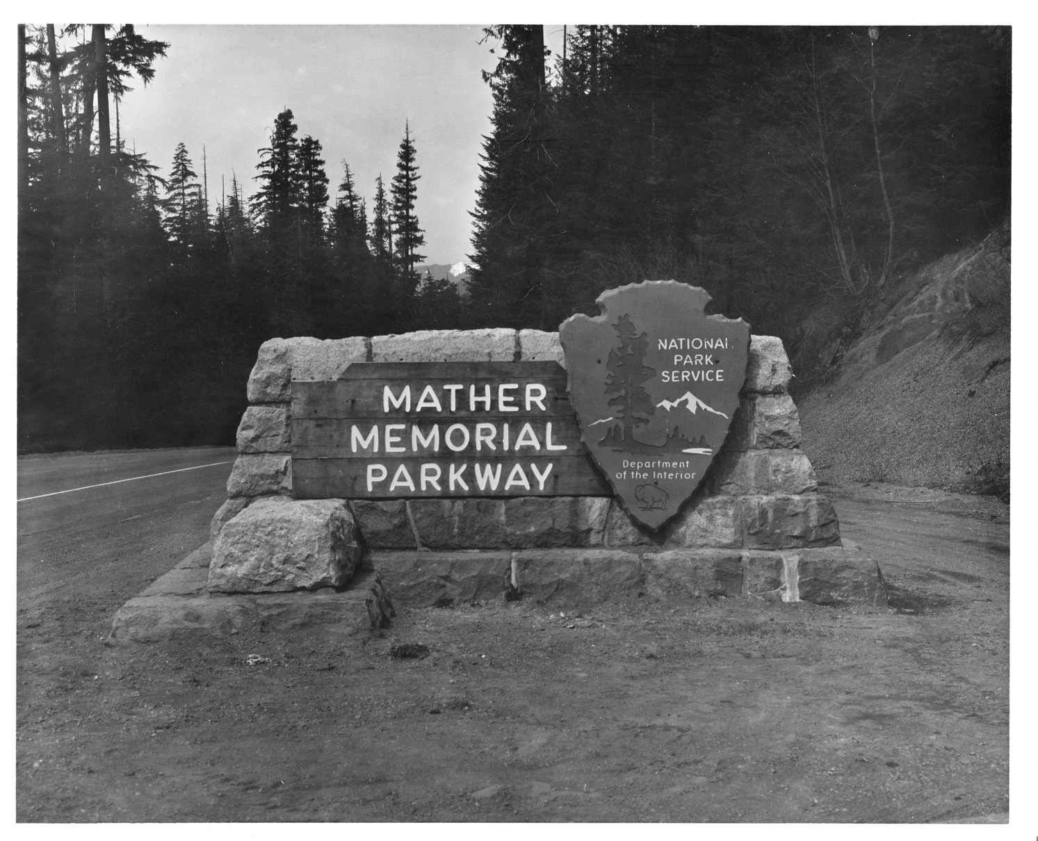
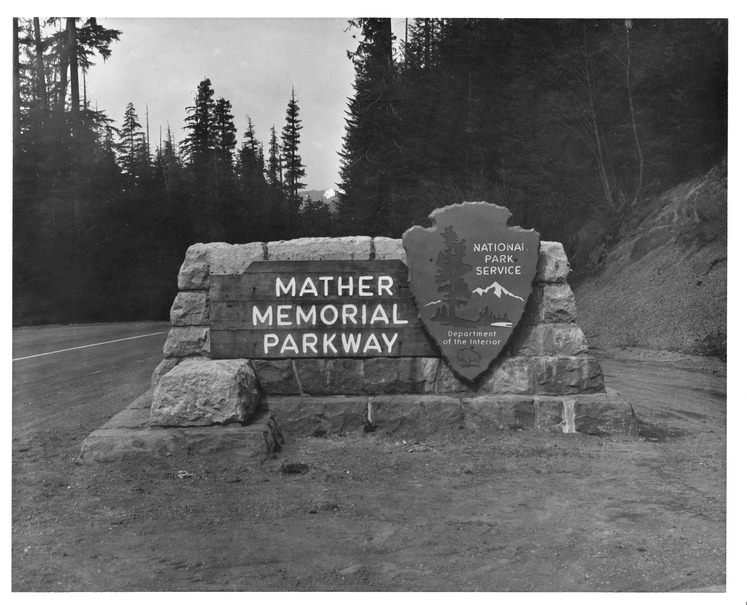
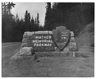
Mather Memorial Parkway Marker
Black and white historic photo of a sign next to a paved road. The wood boards of the sign, reading "Mather Memorial Parkway" are attached to a stone base with a NPS Arrowhead attached next to the sign.
Built in 1940, this stone marker for Mather Memorial Parkway is located at the junction with Yakima (Sunrise) Highway. It is a historic object contributing to the park's National Historic Landmark District.
Permission must be secured from the individual copyright owners to reproduce any copyrighted materials contained within this website. Digital assets without any copyright restrictions are public domain.
Mount Rainier National Park Archives
Public domain:Full Granting Rights
Image
Mount Rainier National Park, Code: MORA
Mount Rainier National Park, Washington
Latitude: 46.865608215332, Longitude: -121.682601928711
Latitude: 46.865608215332, Longitude: -121.682601928711
Date unknown
11/28/2023
Public Can View
Friday, December 8, 2023 4:10:57 PM
Friday, December 8, 2023 4:38:54 PM
MORA A 59 31 Hwy 410_CC.jpg
Tuesday, November 28, 2023 2:58:59 PM
jpg
2.0 MB
Scenic