Select Item below to DOWNLOAD - Once item is selected, right click and choose 'save as'
52e894df-c129-47dd-822c-94a6f67491d0
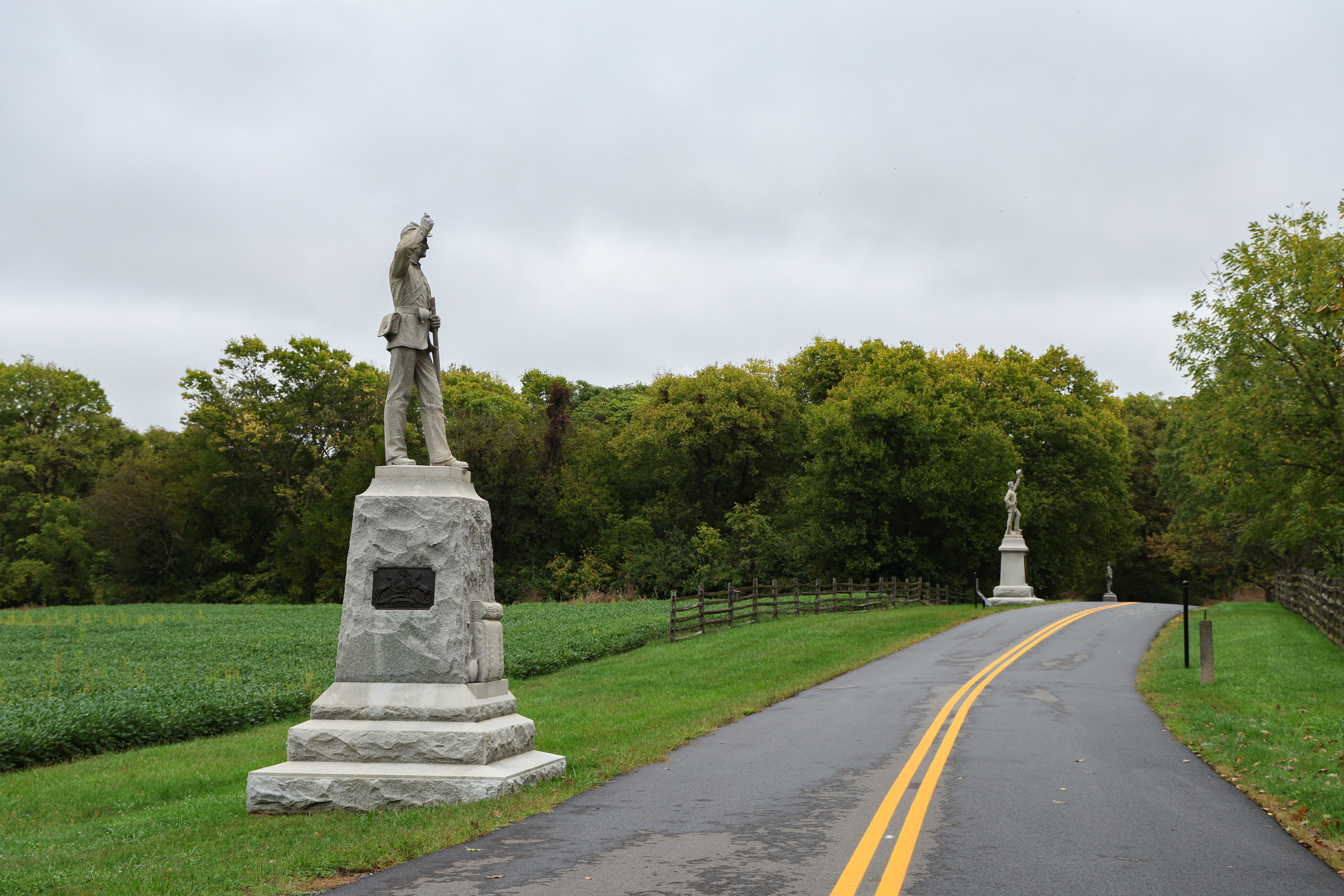
Cornfield Avenue Antietam National Battlefield
A road with two memorials on the left hand side.
Cornfield Avenue Antietam National Battlefield
Permission must be secured from the individual copyright owners to reproduce any copyrighted materials contained within this website. Digital assets without any copyright restrictions are public domain.
NPS / Kelsey Graczyk
Public domain:Full Granting Rights
Image
Antietam National Battlefield, Code: ANTI
Antietam National Battlefield, Washington County, Maryland
Latitude: 39.470100402832, Longitude: -77.7380981445313
Latitude: 39.470100402832, Longitude: -77.7380981445313
09/24/2024
09/24/2024
Public Can View
NPS / Kelsey Graczyk
Friday, May 23, 2025 1:21:50 PM
Friday, May 23, 2025 1:50:09 PM
ANTI_Cornfield Avenue_09242024_KGraczyk_002.jpg
Canon Canon, Canon EOS R6m2 400, RF24-105mm F4 L IS USM
1/400 sec at f / 7.1
53 mm
ISO 400
Tuesday, September 24, 2024 1:27:12 AM
jpg
13.1 MB
Scenic