Select Item below to DOWNLOAD - Once item is selected, right click and choose 'save as'
4989d1c8-0bba-414f-88bc-76d73b214542
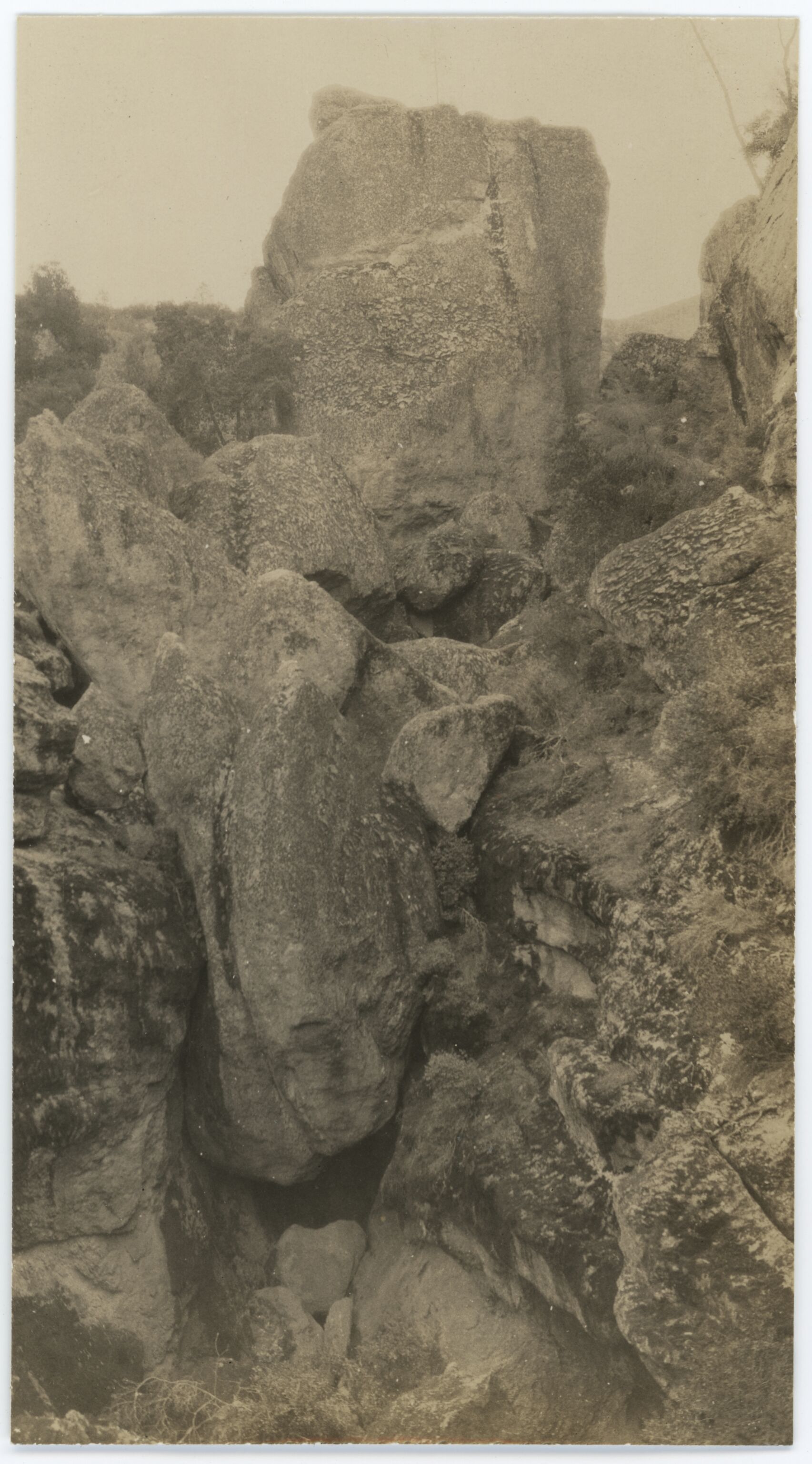
Sugar Loaf Rock
Sugar Loaf Rock
East side of Sugar Loaf Rock and the other boulders forming the ceiling of the caves.
U.S. National Parks Service
Image is attached to PINN_3658_0703.
This digital asset is in the public domain. When using this asset for any purpose, including online, credit: 'Courtesy U.S. National Parks, Pinnacles National Park'
NPS
Public domain
Image
Pinnacles National Park, Code: PINN
Pinnacles National Park, California
Latitude: 36.4753494262695, Longitude: -121.173400878906
Latitude: 36.4753494262695, Longitude: -121.173400878906
1931
Original ID Lands, Buildings, Roads, and Trails: Trail Construction 1933., 3 x 5 inches
Manuscript: PN31D9, Page 8 ; Catalog NO: 3658 ; Box NO: Box 5 ; Folder NO: 4
Public Can View
Organization: Pinnacles National Park
Address: 5000 East Entrance Rd., Paicines, CA 95043, tel: 831-389-4486
Address: 5000 East Entrance Rd., Paicines, CA 95043, tel: 831-389-4486
Monday, May 19, 2025 9:39:38 PM
Monday, May 19, 2025 9:39:38 PM
PINN_3658_0705.tif
tif
8.1 MB
Historic