Select Item below to DOWNLOAD - Once item is selected, right click and choose 'save as'
4882fa00-64dc-4ae9-b275-d91956a93335
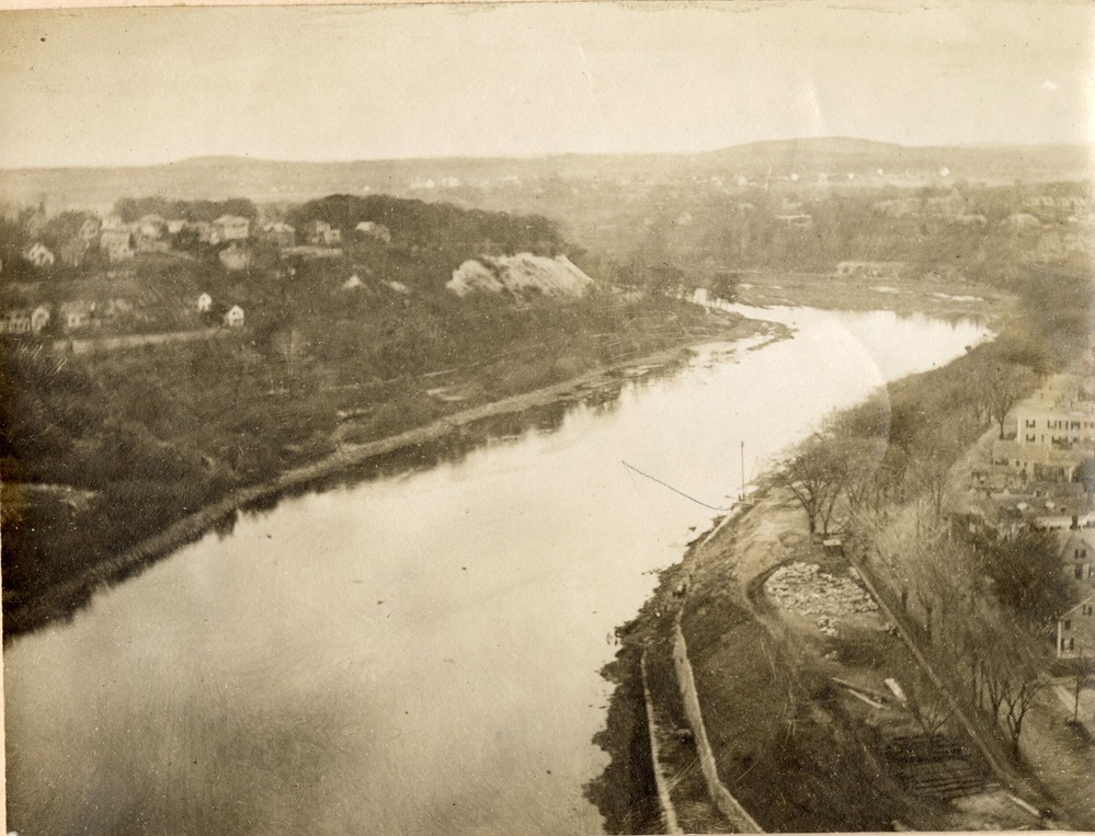
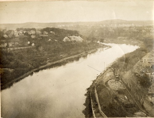
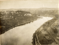
Looking east down the Merrimack River
PL&C Photos Album 1-88 LOWE 9695.tif
A photo showing a broad river.
In a time before aviation, a grand view to the horizon required a lofty perch. For this photo, an intrepid unnamed photographer hauled camera and gear to the top of the Massachusetts Mills newly completed 250-foot-tall smokestack for this photo.
Permission must be secured from the individual copyright owners to reproduce any copyrighted materials contained within this website. Digital assets without any copyright restrictions are public domain.
NPS/Proprietors of Locks and Canals
Public domain:Full Granting Rights
Image
Lowell National Historical Park, Code: LOWE
Lowell National Historical Park, Middlesex County, Massachusetts
Latitude: 42.6464996337891, Longitude: -71.3309020996094
Latitude: 42.6464996337891, Longitude: -71.3309020996094
09/10/1910 | Oct. 10, 1910
01/01/0001
Public Can View
Thursday, May 30, 2024 8:37:41 PM
Thursday, May 30, 2024 9:12:21 PM
PL&C Photos Album 1-88 LOWE 9695.tif
Monday, January 1, 0001 12:00:00 AM
tif
28.3 MB
Scenic