Latitude: 37.8399200439453, Longitude: -119.540397644043
Organization: US National Park Service
Address: Yosemite National Park Archives, PO Box 700-W, El Portal, CA 95318
Email: yose_archives@nps.gov
Burned area from incline across Merced River. Shows Macauley Road on left, Foresta Ridge, etc.
Aerial photograph of flight over park.
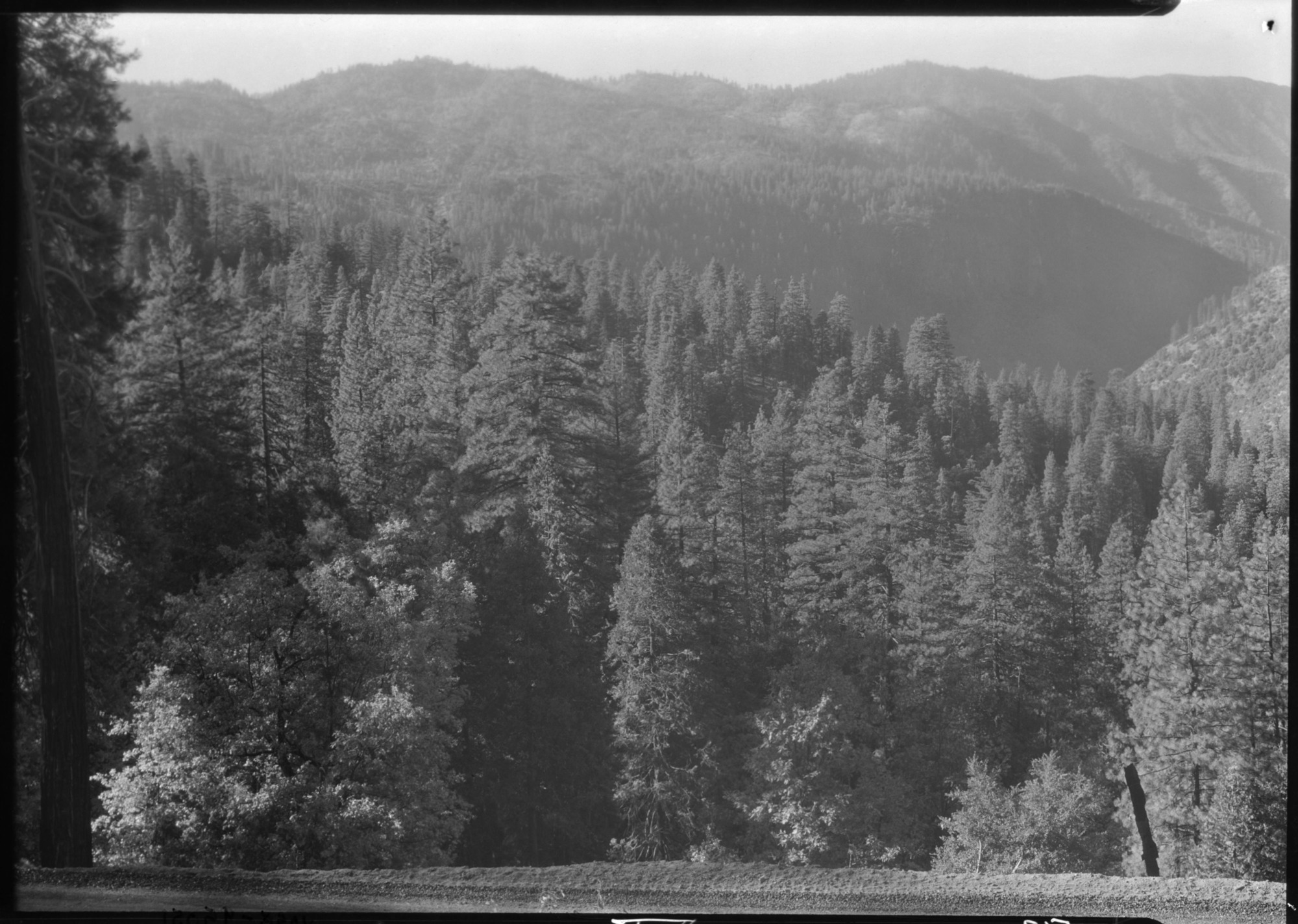
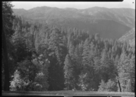
Merced Canyon and Lost Valley.
Merced Canyon and Lost Valley.
YOSE RL_00512
Merced Canyon with wall west of Fireplace Rock. From west of tunnel.
Looking across Merced Gorge toward Mt. Clark Range from old Isberg Pass Trail.
West of Fireplace rock, west of tunnel.
From Glacer Point Road after storm.
Looking toward Triple Divide Peak.
Saddle party look from Old Isberg Trail.
Copy Neg: Mike Floyd, 1993. Merced Canyon looking west from the vicinity of Taft Point and the Fissures. Original on 18 x 22 glass plate.