Select Item below to DOWNLOAD - Once item is selected, right click and choose 'save as'
2f36d371-48d3-4ffa-821a-3d372f4dca72
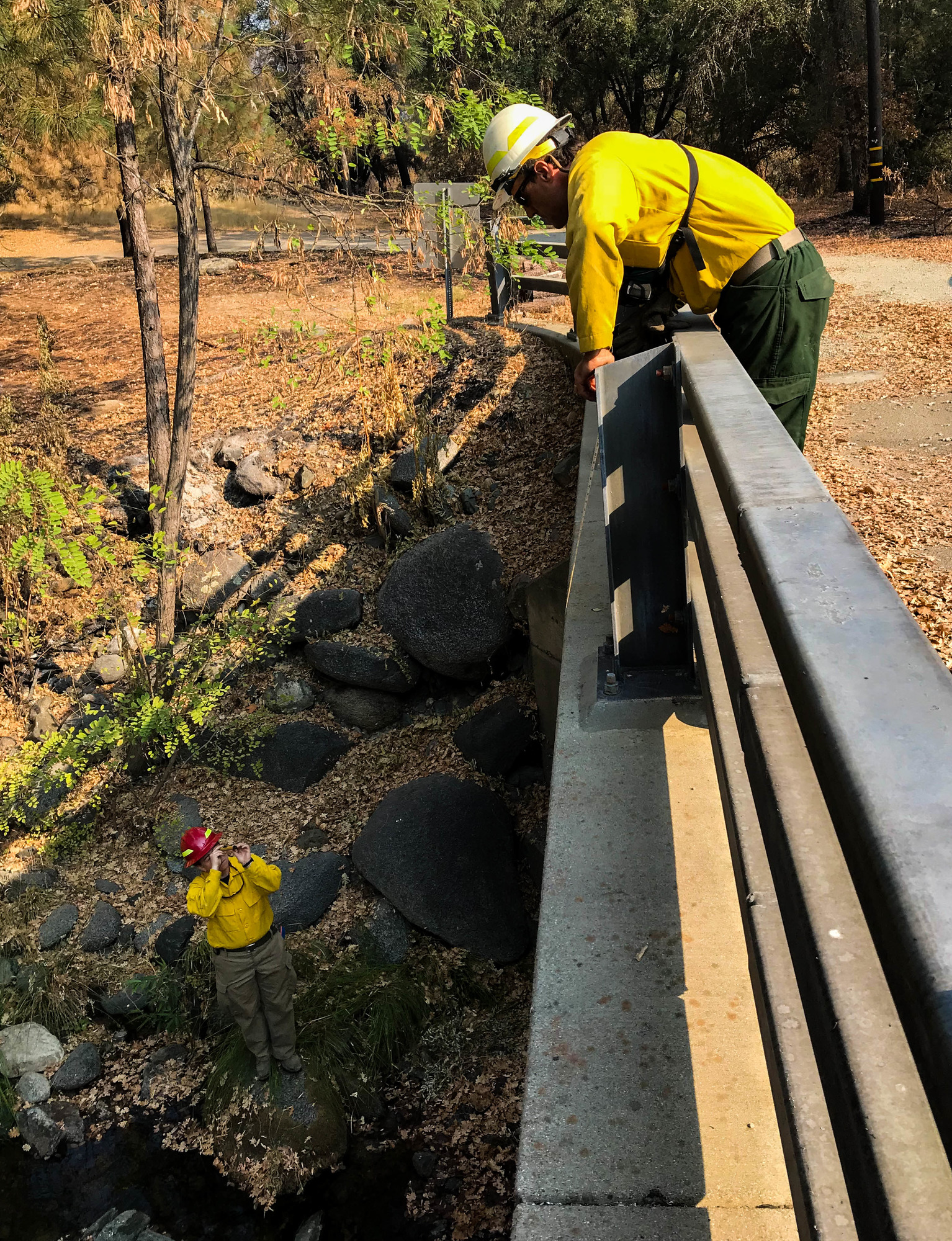
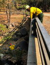
BAER Team Carr Fire Survey
A hydrologist standing next to a creek looking up through a device towards a geologist standing on the bridge above
A multi-agency Burned Area Emergency Response (BAER) team of specialists surveyed sites throughout Whiskeytown National Recreation Area to assess for fire-related damage following the Carr Fire in July and August of 2018, which burned 39,000 of the park's 43,000 acres. Team hydrologist Ali Reddington (USFS) and geologist Sam Flanagan (BLM) take a cross section measurement as part of surveying a bridge to determine potential threats, including increased water or debris flow.
Permission must be secured from the individual copyright owners to reproduce any copyrighted materials contained within this website. Digital assets without any copyright restrictions are public domain.
NPS / Victoria Stauffenberg
Public domain:Full Granting Rights
Image
Whiskeytown National Recreation Area, Code: WHIS
Whiskeytown National Recreation Area, Shasta County, California
Latitude: 40.6136016845703, Longitude: -122.601997375488
Latitude: 40.6136016845703, Longitude: -122.601997375488
08/23/2018
08/23/2018
Public Can View
Monday, September 10, 2018 10:06:01 AM
Monday, September 10, 2018 10:06:01 AM
IMG_0990-2.jpg
Apple Apple, iPhone 7 20, iPhone 7 back camera 3.99mm f/1.8
1/900 sec at f / 1.8
3.99 mm
ISO 20
Thursday, August 23, 2018 3:23:15 PM
jpg
1.9 MB
Scenic