Select Item below to DOWNLOAD - Once item is selected, right click and choose 'save as'
2e8ab972-d40f-480f-a2cf-07d845b7103a
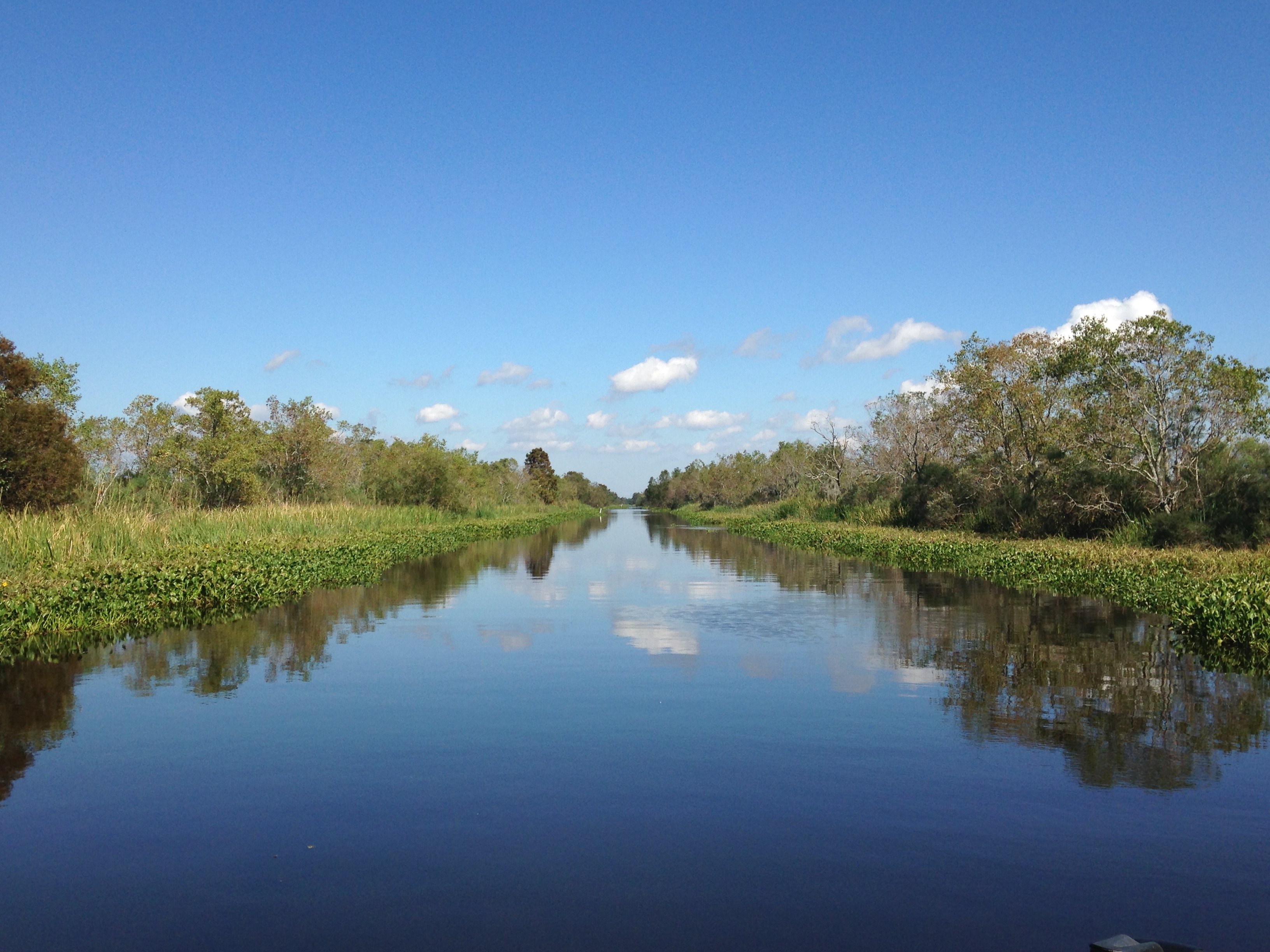
Photograph of canal in Barataria Preserve.
Photograph down a canal in Barataria Preserve.
Canals served many purposes, including accommodating oil and gas pipelines. The creation of canals converted marshes and swamps into open water and spoil banks
Permission must be secured from the individual copyright owners to reproduce any copyrighted materials contained within this website. Digital assets without any copyright restrictions are public domain.
NPS photograph by Courtney Schupp
(NPS Geologic Resources Division) taken on 28 October 2015.
Public domain:Full Granting Rights
Image
Jean Lafitte National Historical Park and Preserve, Code: JELA
Jean Lafitte National Historical Park and Preserve, Louisiana
Latitude: 29.8020095825195, Longitude: -90.1701812744141
Latitude: 29.8020095825195, Longitude: -90.1701812744141
10/28/2015
10/28/2015
Public Can View
Monday, June 14, 2021 4:52:54 PM
Monday, June 14, 2021 4:52:54 PM
29_JELA_Oct28_2015_ 071 pipeline canal hyacinth.JPG
Apple Apple, iPhone 5c 50, iPhone 5c back camera 4.12mm f/2.4
1/2088 sec at f / 2.4
4.12 mm
ISO 50
Wednesday, October 28, 2015 5:48:30 PM
jpg
2.2 MB
Scenic