Select Item below to DOWNLOAD - Once item is selected, right click and choose 'save as'
2b24598b4a35476a833f7fddd4a9828b
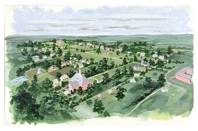
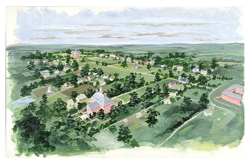
Aerial view of Williamsburg, Virginia.
Aerial view of Williamsburg, Virginia.
Abbr=AVA
U.S. National Park Service
Reflective Art
Government owns art and all reproduction rights.
Public domain
Acrylic on illustration board, (HFC ArtMedium)
Image
Colonial National Historical Park, Code: COLO
Colonial National Historical Park, Virginia
Latitude: 37.2880897521973, Longitude: -76.6342163085938
Latitude: 37.2880897521973, Longitude: -76.6342163085938
Image Management System : IMS 03236
20190904
Miscellaneous, AVA Project #62, Plate 33
T5
Public Can View
Organization: Harpers Ferry Center
Address: Harpers Ferry Center, 67 Mather Place, Harpers Ferry, WV, 25425, 304-535-5050
Address: Harpers Ferry Center, 67 Mather Place, Harpers Ferry, WV, 25425, 304-535-5050
Thursday, October 3, 2019 5:25:56 PM
Thursday, October 3, 2019 5:25:56 PM
03236.jpg
jpg
70.3 kB
Museum